What is recorded here
Standing stone in Kilbarrymeaden is a standing stone in Kilbarrymeaden, County Waterford, Ireland. The 1999 Archaeological Inventory of County Waterford described the stone as having a rectangular cross-section with dimensions of 0.65 metres by 0.3 metres and a height of 1.15 metres, oriented north-east to south-west. It is located towards the head of a slight north-west to south-east valley, with a stream approximately 5 metres to the north-east.
Located towards the head of a slight NW-SE valley with a NW-SE stream c. 5m to the NE. This is a stone with a rectangular cross-section (dims. 0.65m x 0.3m; H 1.15m) oriented NE-SW. A possible standing stone (WA025-076----) is c. 100m to the WNW. Archaeological testing (08E0608) in the vicinity failed to produce any related material (Sheehan 2008).
The above description is derived from the published 'Archaeological Inventory of County Waterford' (Dublin: Stationery Office, 1999). In certain instances the entries have been revised and updated in the light of recent research.
Compiled by: Michael Moore.
Date of upload: 19th May, 2011.
The monument record does not grant public access. Check the route and ask the landowner before entering private land.
- What survives
- Recorded monument
Places near here
 farm housefarm house · 108 yd
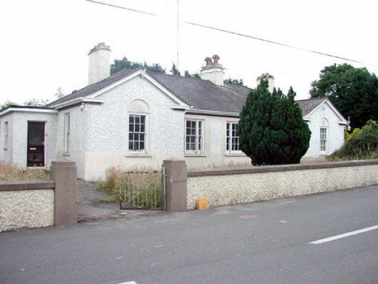 Kill Garda Síochána StationOfficially recorded historic building · 579 yd
 Burnt mound in KilbarrymeadenBurnt mound · 1051 yd
 Embanked enclosureFairy fort / ringfort · 1503 yd
 St. Martin's WellSpring · 1.1 mi
 St. Bernard's WellSpring · 1.1 mi
 Kilmurrin CoveBeach / strand · 2.7 mi
 Tankardstown 19th Century Copper Mining GeoparkHeritage attraction · 2.8 mi
 Copper CoastCoastal geological landscape · 2.9 mi
 Boatstrand BeachBeach / strand · 3.0 mi
 Mandevilles RockCastle, unclassified · 3.0 mi
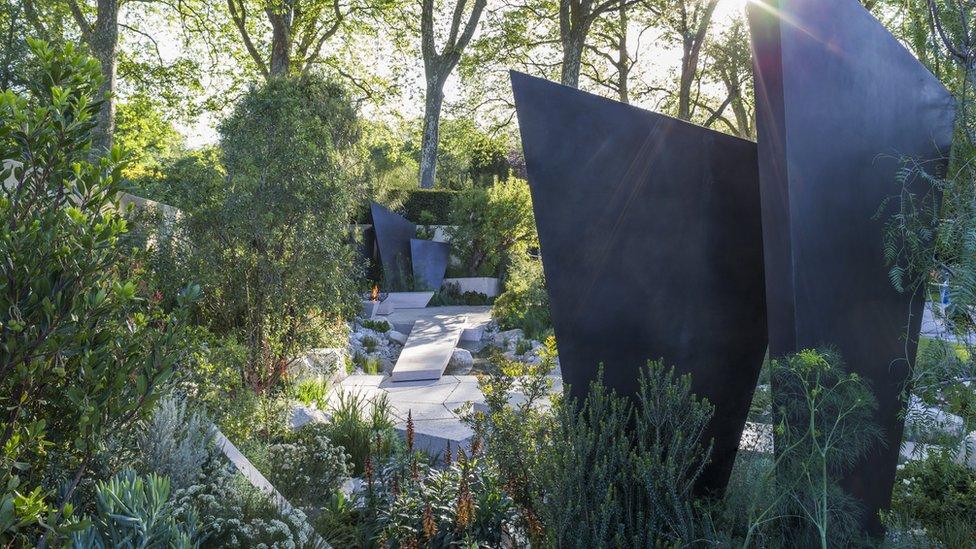 Geological GardenVisitor information · 3.0 mi