What is recorded here
Situated at the W edge of a broad marshy basin. The church of St Barry (WA017-003001-) had a smaller building described by O'Donovan as '17ft by 15ft' (c. 5.18m x 4.5m) and attached to the church at its SE angle, but it has been removed without trace.
Compiled by: Michael Moore
Date of upload: 31 December 2010
This remains an important historical record, but the official description says the monument is no longer visible or has been destroyed. The monument record does not grant public access. Check the route and ask the landowner before entering private land.
- What survives
- No visible remains or recorded as destroyed
Places near here
 Monastery (in ruins)Building · 47 yd
 RoadRoad, hollow-way · 71 yd
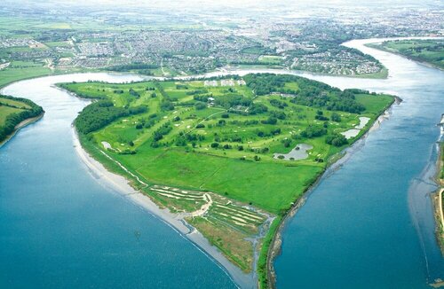 Burnt mound in KilbarryBurnt mound · 1122 yd
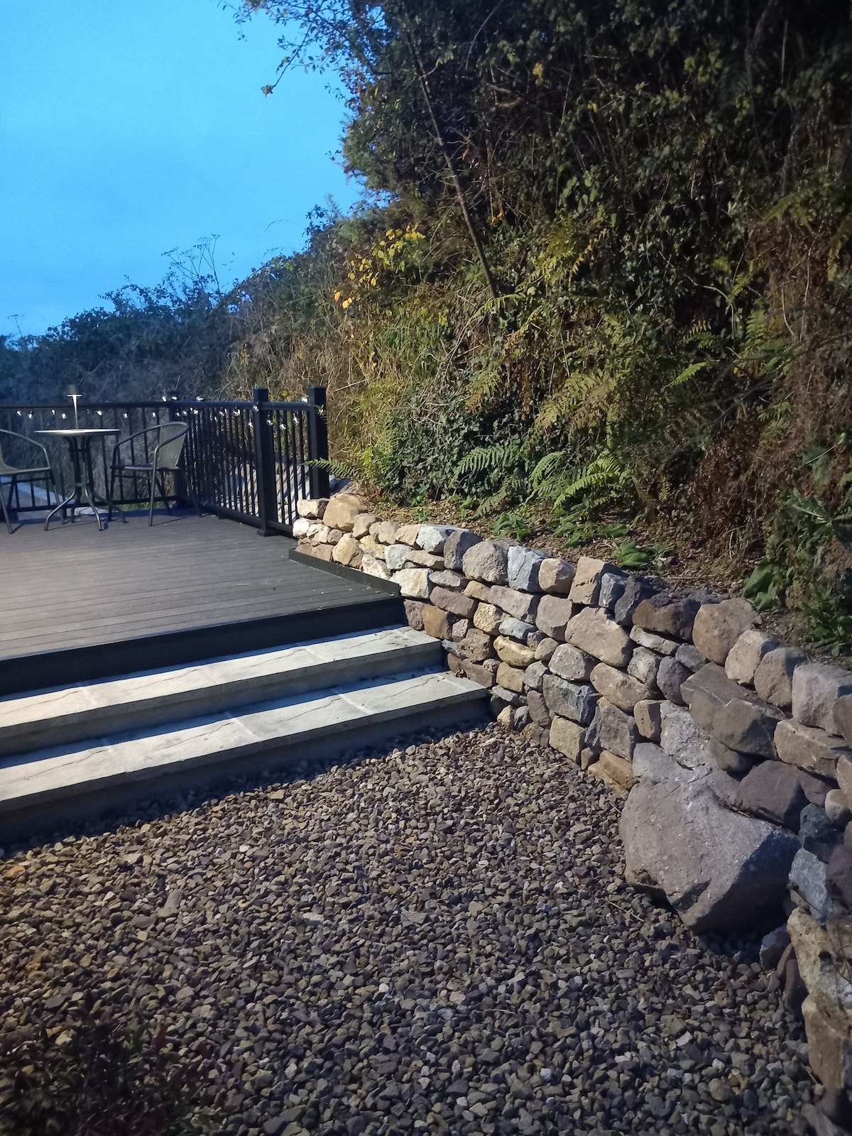 Hearth in KilcohanHearth · 1.0 mi
 Double TowerHeritage attraction · 1.2 mi
 Watch TowerHeritage attraction · 1.2 mi
 Native Woodland Trust:Grace Dieu ReserveWood · 2.6 mi
 Sugar Loaf RockMountain / peak · 2.9 mi
 Granny CastleCastle, tower house · 3.0 mi
 Corluddy Castle (in Ruins)Castle, tower house · 3.6 mi
 Monterey CypressMonterey Cypress · 3.9 mi
 Ballyscanlon HillMountain / peak · 6.4 mi
Other information
Photo: Credit not shown in the picture search · Rights wording not checked; contact us if this picture should be removed