What is recorded here
Not shown, so the claim is not that the hole is small or the story forgotten. The claim is that a new road, new houses and new cameras may have erased the last visible trace of an old warning. You can still ask what happened at Not shown because the absence of a picture is not the same as absence of life. The real danger is that everyone will stop asking and call the gap a mistake.
On a gentle SSW-facing slope, in pasture, on the N side of Schoolhouse Road, Castletroy. Not depicted on OS historic mapping. Identified by Flor Hurley in 2003 during monitoring (License No. 03E1382) for a housing scheme known as Glantan and excavated (License No. 03E1717) by Niamh O’Callaghan later in 2003. In Area 1 (east), a number of features (F58-F74 and F81-F88) were recovered and excavated including a ring-ditch (int. diam. 4m; ext. diam. 5.6m; D 0.24m). There was no stratigraphic relationship between it and the cremation burials. There were two internal pits, although these did not contain cremation burials.
See attached plan extract from monitoring report (Hurley 2003).
Compiled by: Alison McQueen and Vera Rahilly
Date of upload: 30 June 2020
The monument record does not grant public access. Check the route and ask the landowner before entering private land.
- What survives
- Recorded monument
Places near here
 Not shownFulacht fia · 276 yd
 Mary Magdalenes WellHoly well · 581 yd
 Ballysimon MillsWater mill, vertical-wheeled · 795 yd
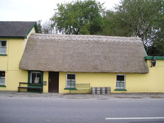 Ó Séaghdhahouse · 1049 yd
 New CastleCastle · 1560 yd
 University of Limerick FlagpostsHeritage attraction · 1.1 mi
 Campus MapVisitor information · 1.3 mi
 Visitor CentreVisitor information · 1.3 mi
 Fountain SculptureHeritage attraction · 1.3 mi
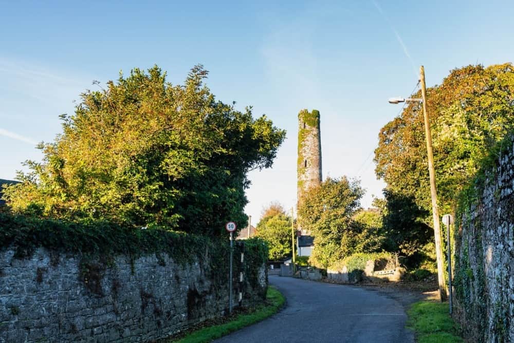 Round Tower (Site of)Castle, tower house · 1.7 mi
 Jackie PowerMemorial · 1.7 mi
 St. Patrick's WellSpring · 1.7 mi