
What is recorded here
Inis na Bró holds a circular drystone hut beside faint cultivation ridges, proving that people farmed and sheltered on this small Atlantic islet before forgetting its name. The walls still stand without mortar while the sea presses close, suggesting a life of constant adjustment to weather, tide and hunger. That much smaller home still touches the sky, preserving the courage required to build somewhere so exposed.
Inis na Bró is recorded as a islet in County Kerry. Its open map record supplies this location and any linked names or public references.
Inis na Bró is a small islet located off the coast of County Kerry, traditionally associated with the broader network of islands known as the Blasket Islands. It is notable for its connection to the Irish-speaking community that once thrived in the region, many of whom were displaced in the mid-20th century due to declining population and harsh living conditions.
Places near here
 Cultivation ridges in Inis Na BróCultivation ridges · 454 yd
 Hut site in Inis Na BróHut site · 460 yd
 Inis Mhic UileáinIsland · 1614 yd
 Church in Inis Mhic AoibhleáinChurch · 1712 yd
 Rinn Chuas an ÉinHeadland · 1.3 mi
 An TiarachtIslet · 2.3 mi
 Inishtearaght LighthouseLighthouse · 2.5 mi
 An Cró MórMountain / peak · 2.9 mi
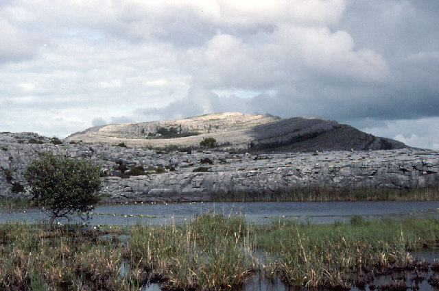 An Mullach RamharMountain / peak · 3.7 mi
 An Blascaod MórIsland · 3.7 mi
 An Dún MórHeadland · 6.6 mi
 Dunmore HeadViewpoint · 6.6 mi
Other information
Photo: Credit not shown in the picture search · Rights wording not checked; contact us if this picture should be removed