
What is recorded here
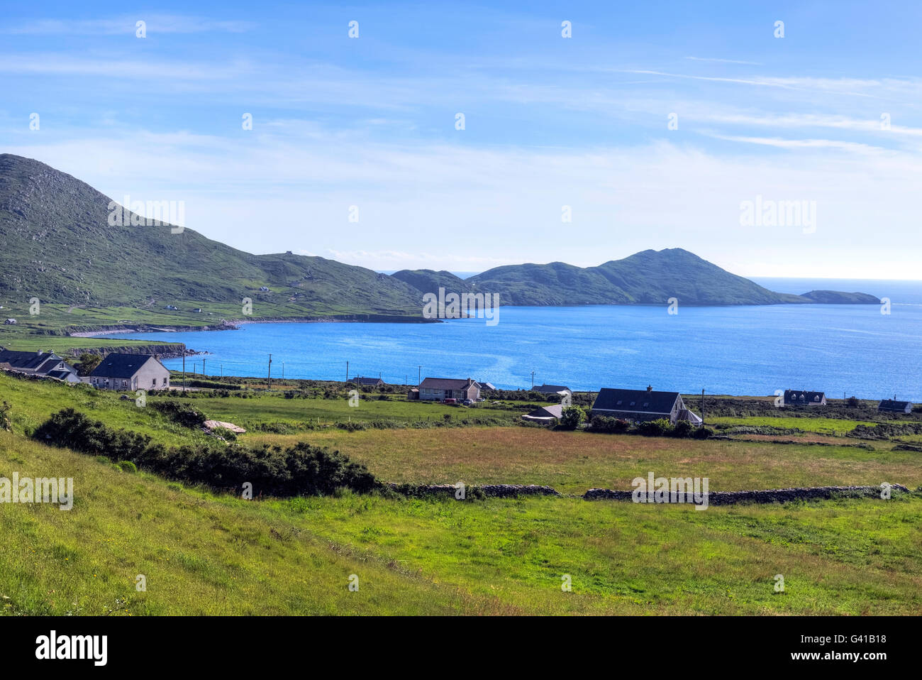
Loher Stone Fort stands on the western edge of the Iveragh Peninsula as a ninth-century defended farmstead whose thick drystone walls still guard the memory of ordinary life. Inside the circular enclosure, a large round house and smaller rectangular building replace earlier wooden structures, while a hidden souterrain beneath the round house suggests people once stored food or fled danger through dark stone passages. The entrance passage, similar to Staigue stone fort, directs footsteps into a space where household work and watchfulness shared the same air. Perhaps residents watched Skellig Michael appear above Ballinskelligs Bay, reading weather and prayer in the same distance.
Loher Stone Fort is recorded as a archaeological place in County Kerry. Its open map record supplies this location and any linked names or public references.
Places near here
 Field boundary in An LótharField boundary · 79 yd
 IndicatedEnclosure · 148 yd
 Church in An LótharChurch · 352 yd
 Binn Uí RuaircMountain / peak · 1142 yd
 Com An ChisteViewpoint · 1195 yd
 Farraniaragh MountainMountain / peak · 1556 yd
 Hog's Head Signal TowerRuins · 1.4 mi
 Lamb's IslandIslet · 1.9 mi
 Derrynane Bay Beach / Trá Bhá Doire FhionáinBeach / strand · 2.1 mi
 Páirc Náisiúnta Stairiúil Dhoire Fhíonáin / Derrynane National Historic ParkNature reserve · 2.1 mi
 Pointe Lic an TeampaillHeadland · 2.2 mi
 Derrynane House / Teach Dhoire FhionáinHeritage attraction · 2.2 mi
Other information
Photo: MollyCrilly · CC BY-SA 4.0