
What is recorded here
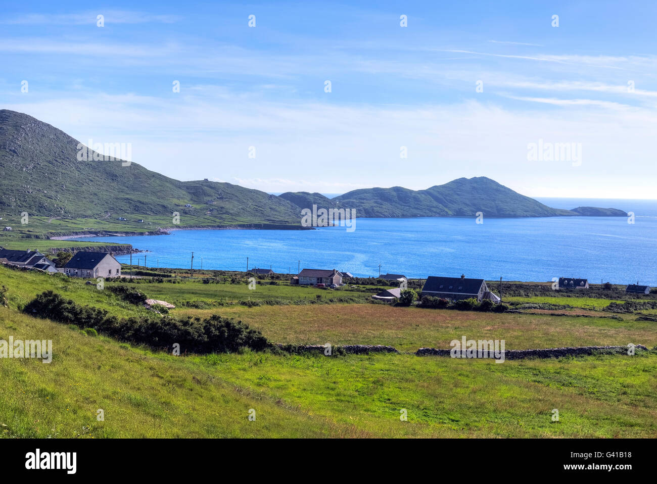
In rough pasture on a W-facing slope overlooking Loher Fort (KE106-015----) and Ballinskelligs Bay. The monument is indicated on the 1846 OS 6-inch map as an oval enclosure (c. 40m NW-SE; c. 30m NE-SW). An arc (C c. 40m) formed by a damaged scarp (H 0.3 at NW and SE and increasing to 2m along the W arc) is evident SE-NW. On top of the scarp, SW-NW, are traces of an earthen bank (Wth c. 2m; int. H 0.1m). An ENE-WSW field boundary truncates part of the N quadrant and grass-covered, recently excavated material has tumbled into the E quadrant. The almost level interior is uneven and stones are scattered on the surface. A partially collapsed stone field wall runs NE-SW across the SE portion of the interior.
The above description is derived from the published 'Archaeological Inventory of County Kerry. Volume I: South-West Kerry' (Dublin: Stationery Office, 2009). In certain instances the entries have been revised and updated in the light of recent research.
Date of upload: 30 May 2011
A local fairy fort (ringfort/rath); wider significance not recorded.
The monument record does not grant public access. Check the route and ask the landowner before entering private land.
- What survives
- Recorded monument
Places near here
 Loher Stone FortArchaeological place · 148 yd
 Church in An LótharChurch · 204 yd
 Field boundary in An LótharField boundary · 218 yd
 Binn Uí RuaircMountain / peak · 1258 yd
 Com An ChisteViewpoint · 1283 yd
 Farraniaragh MountainMountain / peak · 1447 yd
 Hog's Head Signal TowerRuins · 1.5 mi
 Lamb's IslandIslet · 1.9 mi
 Páirc Náisiúnta Stairiúil Dhoire Fhíonáin / Derrynane National Historic ParkNature reserve · 2.1 mi
 Derrynane Bay Beach / Trá Bhá Doire FhionáinBeach / strand · 2.1 mi
 Derrynane House / Teach Dhoire FhionáinHeritage attraction · 2.2 mi
 CastleCastle, tower house · 2.2 mi
Other information
Photo: Credit not shown in the picture search · Rights wording not checked; contact us if this picture should be removed