What is recorded here
Fairy fort / earthen ringfort in Jeffrystown is a fairy fort or earthen ringfort in Jeffrystown, County Westmeath, Ireland. It sits on a hillock overlooked by higher ground to the southeast and south, offering good views from the northwest to northeast. The site features a raised oval area approximately 46 metres northwest to southeast and 39 metres northeast to southwest, enclosed by a low fragmentary bank of earth and stone standing one metre high. A possible entrance gap 1.2 metres wide is located at the northeast, and a post 1840 field bank running west-northwest to east-southeast intersects the perimeter from southeast to southwest.
Situated on a hillock overlooked by higher ground to SE and S, with good views from NW-NE. The stream which forms the townland boundary with Balreagh lies 110m to W. A raised oval shaped area (approx. diam. 46m NW-SE; 39m NE-SW) enclosed by a low fragmentary bank of earth and stone (H 1m) with a possible entrance gap (Wth 1.2m) at NE. The interior rises towards the centre. A post 1840 field bank running WNW-ESE intersects the perimeter of the monument from SE-SW.
See attached profile of monument surveyed and drawn by the ASI.
Compiled by: Frank Coyne and Caimin O'Brien
Date of upload: 9 April 2018
The monument record does not grant public access. Check the route and ask the landowner before entering private land.
- What survives
- Recorded monument
Places near here
 No indicatedFairy fort / ringfort · 733 yd
 CastleCastle, motte · 741 yd
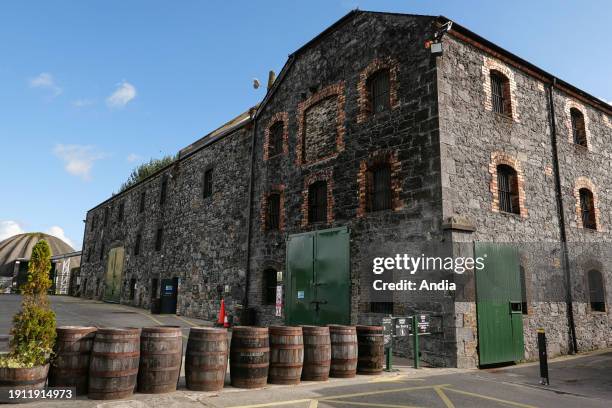 Man-made underground passage in BalreaghMan-made underground passage · 935 yd
 Church in ruinsChurch · 1024 yd
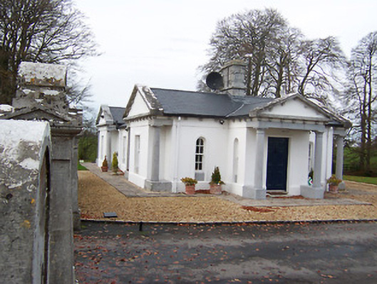 Gigginstown Housegate lodge · 1195 yd
 Site of Fennor CastleCastle, tower house · 1627 yd
 GinkgoGinkgo · 2.5 mi
 KnockeyonMountain / peak · 4.1 mi
 Castle IslandIslet · 4.6 mi
 The FurzeForest · 4.8 mi
 Seafin HillMountain / peak · 7.5 mi
 Zip WireHeritage attraction · 10 mi