What is recorded here
Settlement cluster in Inishlounaght is a settlement cluster in Inishlounaght, County Tipperary, Ireland. A 2006 to 2010 lidar survey recorded rectangular plots east of the church road and north of the church avenue, with four further plots north of the graveyard boundary. The 1840 Ordnance Survey map shows a row of houses running north-south near the junction of the church road and the main east-west road.
In flat terrain in the lowlying river valley of the River Suir, on the S side of the modern village of Marlfield between the main E-W road and the C of I church and graveyard. A lidar survey (Steve Davis, UCD, 2006-10) in the vicinity of the C of I church and graveyard at Marlfield revealed a series of rectangular plots (total L N-S c. 300m; each plot L c. 100m E-W; Wth 30-35m), E of the N-S road to the church and N of the church avenue. There are a further 4 plots (L c. 170m N-S; Wth 30-35m), running N of the graveyard boundary. On the 1st (1840) ed. 6-inch OS map a row of houses is depicted running N-S, on the E of the N-S road to the church for 110m near the junction between this road and the main E-W road through Marlfield village.
Compiled by: Jean Farrelly
Date of upload: 28 May 2013
The monument record does not grant public access. Check the route and ask the landowner before entering private land.
- What survives
- Recorded monument
Places near here
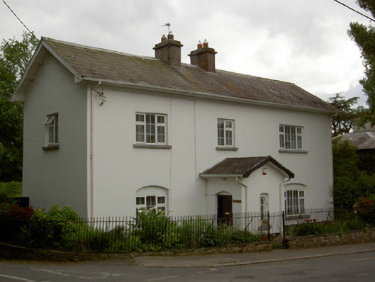 HazledeneRIC barracks · 213 yd
 Crusader's GraveHeritage attraction · 219 yd
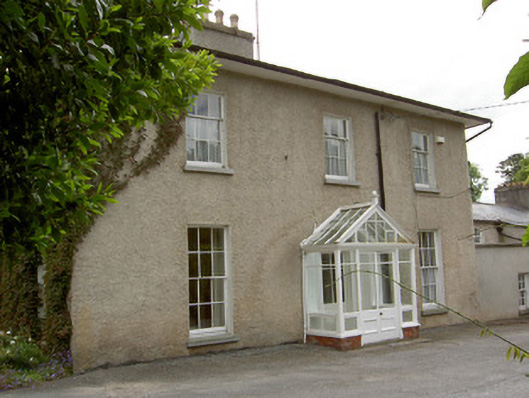 Inishlounaght Houserectory/glebe/vicarage/curate's house · 233 yd
 Common LimeCommon Lime · 591 yd
 European ashEuropean ash · 960 yd
 Greenan MoteEnclosure · 1163 yd
 Greenan Castle (in Ruins)House, fortified house · 1208 yd
 Site of Grave YardChurch · 1302 yd
 Kilmacomma HillMountain / peak · 1523 yd
 Toberaheena WellSpring · 1586 yd
 CastleCastle, ringwork · 1626 yd
 Siege of Clonmelsiege · 1.4 mi