What is recorded here
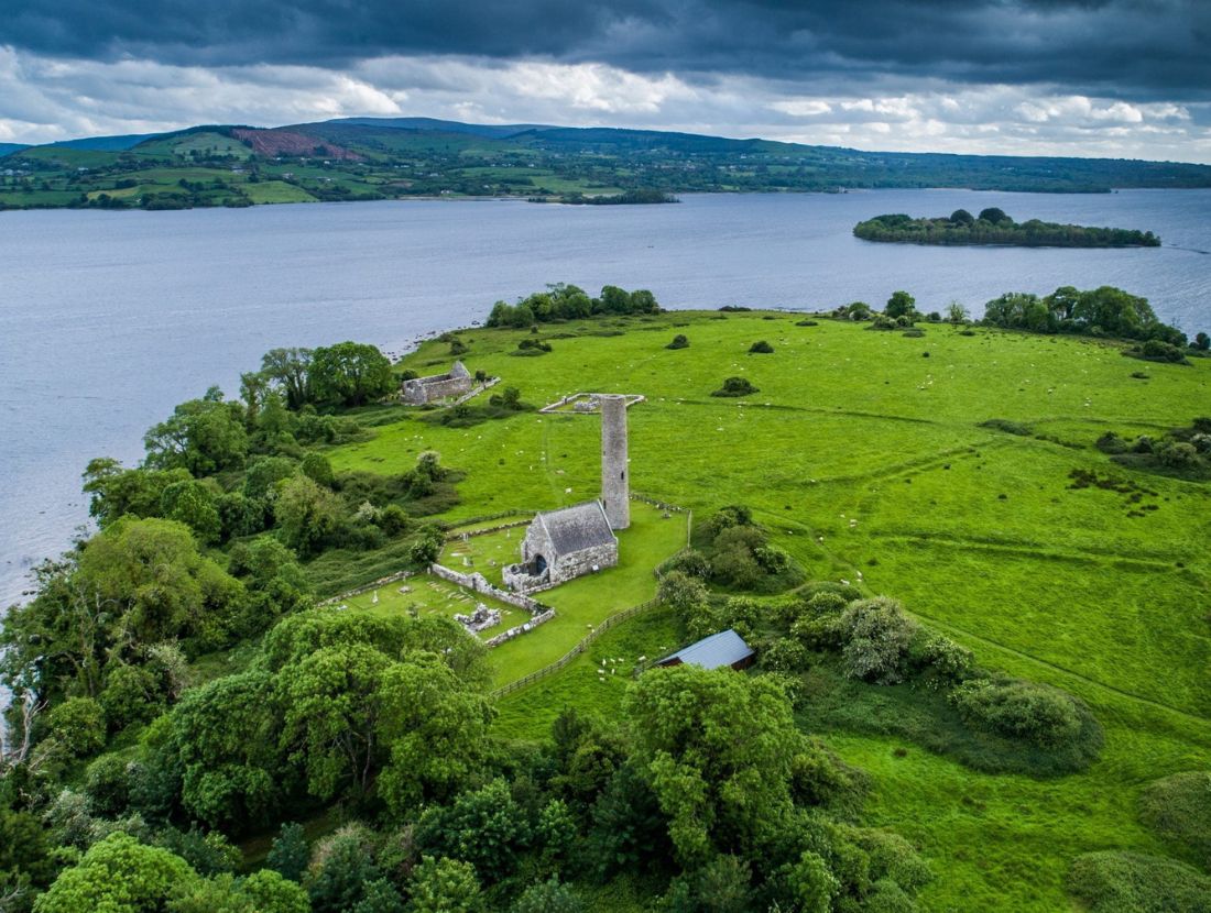
Near the E shore of Inis Cealtra in Lough Derg c. 40m NE of the ‘Saint’s Graveyard’ (CL029-009030-). The foundations of a small two-roomed building excavated by de Paor in 1970 (Licence no. E000180, report 2, Area 2, 49-51). Described by Macalister (1916-17, 140) as a structure (34ft (10.3m) by 18ft (5.4m)) of drystone masonry, very roughly built (wall T 2ft 6in (0.76m); H 3ft (0.91m)) with a central chimney and back-to-back fireplaces. In spite of being cleared out by the Board of Works in 1879-80 it was clear that the floor had sloped steeply. The interior of the cottage and a small area around it was excavated. Finds were few and seemed to relate to the occupation of the building. Two fragments of querns were found inside, one to the W of the fireplace and one near the SE corner. A whetstone was found E of the chimney. Once the building had fallen into ruin it was used as a rubbish dump. This was referred to as a church at one time but that may have been in an effort to increase the number of churches on the island to seven (Macalister 1916-17, 140-41). Macalister also suggests that this is the ‘one house’ mentioned in an early 17th-century report by a Bishop Rider but on the basis of the few finds from excavation de Paor estimates a mid-18th century date. On inspection in 2016 this area was found to be completely overgrown and inaccessible. (de Paor 2013, 28, 30-31)
Compiled by: Mary Tunney
Date of upload: 27 June 2016
The monument record does not grant public access. Check the route and ask the landowner before entering private land.
- What survives
- Recorded monument
Places near here
 Baptism ChurchChurch · 71 yd
 Enclosure in Inishcaltra OR Holy IslandEnclosure · 144 yd
 Inishcaltra Monastic SiteArchaeological place · 168 yd
 IndicatedChurch · 192 yd
 Inishcaltra or Holy IslandIslet · 221 yd
 Pedunculate OakPedunculate Oak · 1493 yd
 The MazeHeritage attraction · 1.2 mi
 Scarriff BayBay · 1.6 mi
 Bawn in Caher (tulla Lower By.)Bawn · 1.7 mi
 Cloonoolia BayBay · 1.7 mi
 Castle BaunCastle · 1.8 mi
 Aughinish WoodForest · 1.9 mi