What is recorded here
Bailey Mór is a high Atlantic island where a thin cross-slab still stands beside a ruined house, its broken top leaning into the wind. The cross cuts most of the western face, its arms flaring like a hand opening on the horizon. Françoise Henry saw it mounted on a house in the late 1930s, then fallen and propped again in 1950, so it may have been carried from one threshold to another as the island changed. That much movement makes the slab less like a forgotten monument and more like a marker kept alive by human hands.
Towards the W edge of the summit of Bailey Mór (MA023-014003-),
This beautiful cross-slab is a National Monument in state ownership (no. 379). The slab (H 1.15m; Wth 0.25m; T 0.12m) stands high on the mound, supported at its base by a loose heap of stones. The top of the stone is broken and the upper N angle has sheared off. The broad W face of the stone bears a cross with expanded terminals, and an extension of the shaft below the lower terminal.
The total height of cross 0.68m and it fills most of the exposed face of the stone. The horizontal arms spans the full width of the slab, and are defined by a relatively broad groove (Wth 4cm) flaring emphatically at the terminals. A thinner groove (Wth 2cm) defines the vertical arms. The upper arm (H 0.14m) is truncated at the broken top of the slab. The lower arm (H 0.5m) ends in a triangular expansion, from which the shaft continues downwards for another 0.5m, ending in an oblique point.
Françoise Henry (1951, 67) recorded that when first seen by her in the late 1930’s this cross-slab stood on a ruined house (MA023-014011-) which was reduced to ‘a heap of stones’. In 1950 she found that the slab had fallen and she had ‘it propped up against some horizontal stones which may be the foundation of another house, a little to the SW of its original position.’ It is clear from this that the cross-slab has been moved a number of times in its history, and its original position on the island is unknown.
Attached images:
MA023-014023-_01.JPG Cross-slab viewed from S
MA023-014023-_02.JPG W face of cross slab
Compiled by: Jane O’Shaughnessy
Date of upload: 20 July 2023
References:
Henry, F. 1951 New monuments from Inishkea North, Co. Mayo. Journal of the Royal Society of Antiquities of Ireland 81, 65-69
Dated to the early Christian period (5th–9th century AD), the cross-slab likely served a religious or commemorative function, possibly marking a holy site or burial ground. Its location on a prominent mound suggests it may have had both spiritual and symbolic significance in the local landscape.
The monument record does not grant public access. Check the route and ask the landowner before entering private land.
- What survives
- Recorded monument
Places near here
 Cross in Inis Gé ThuaidhCross · 79 yd
 Enclosure in Inis Gé ThuaidhEnclosure · 182 yd
 Inis Gé ThuaidhIsland · 485 yd
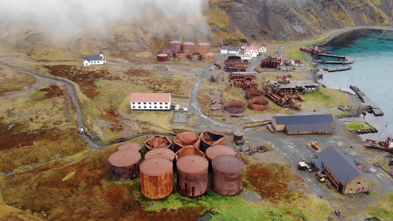 Rusheen Island Whaling StationRuins · 1.0 mi
 RoisínIslet · 1.0 mi
 Church (in Ruins)Church · 1.2 mi
 Site of Redmond Barretts CastleCastle, unclassified · 3.3 mi
 Termon BeachBeach / strand · 4.1 mi
 Trá OilíBeach / strand · 4.6 mi
 Barranagh Castle in RuinsCastle, unclassified · 5.7 mi
 Cuan an Fhóid DuibhBay · 7.9 mi
 Saddle HeadHeadland · 8.1 mi