What is recorded here
St John's Gate was the principal route from the city to Gaultiere with references attesting its existence in the 15th and 16th centuries (Smith 1746, 188-9). St John's Bridge was the only bridging point of the Pill, and although the present bridge has been expanded, two irregular arches with plain voussoirs on the W side are original. (Bradley et al. 1989, vol. 2, 181-2; O'Keeffe and Simington 1991, 138-40)
Bradley, J., Halpin, A. and King, H. (1989) Urban archaeology Survey of Waterford City and County, 2 vols. Unpublished report commissioned by the Office of Public Works.
O'Keefe, P. and Simington, T. (1991) Irish stone bridges: history and heritage. Irish Academic Press, Dublin.
The above description is derived from the published 'Archaeological Inventory of County Waterford' (Dublin: Stationery Office, 1999). In certain instances the entries have been revised and updated in the light of recent research.
Date of upload/revision: 23 December 2008
The monument record does not grant public access. Check the route and ask the landowner before entering private land.
- What survives
- Recorded monument
Places near here
 John's BridgeOfficially recorded historic building · 2 yd
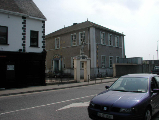 Scoil Eoin Christian Brothers Schoolschool · 80 yd
 Watch TowerHeritage attraction · 86 yd
 Double TowerHeritage attraction · 152 yd
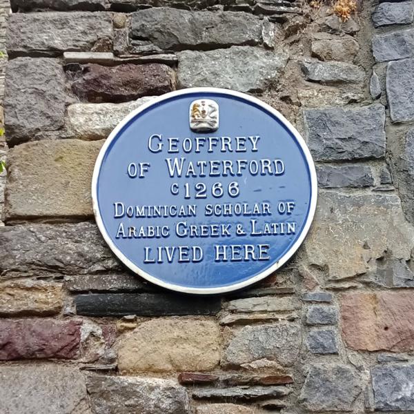 Abbey (Site of)Religious house, Augustinian canons · 300 yd
 Bastioned fort in Waterford CityBastioned fort · 324 yd
 9/11 MemorialMemorial · 425 yd
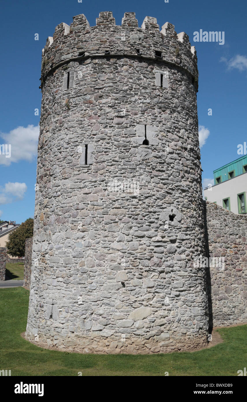 Waterford City WallsVisitor information · 433 yd
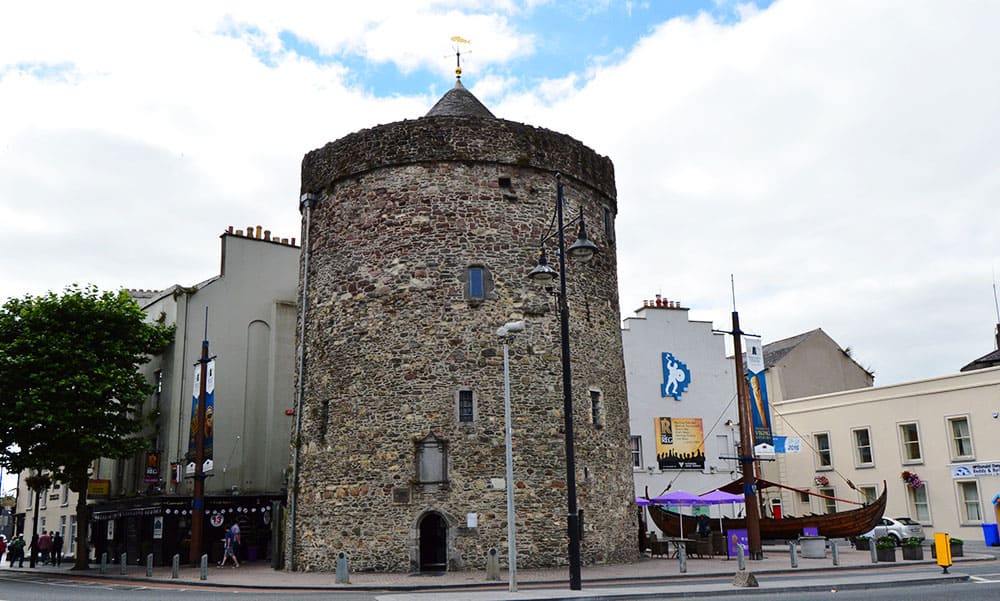 Semi-Lunar TowerCastle · 484 yd
 Granny CastleCastle, tower house · 2.7 mi
 Native Woodland Trust:Grace Dieu ReserveWood · 2.7 mi
 Native Irish Tree TrailWood · 3.0 mi