
What is recorded here
In Cusheen Wood, c. 40m to N of roadway. Roofless, gabled, rectangular structure (13.38m NE-SW; 6.96m NW-SE); named 'Chapel of Ease' on 1842 OS 6-inch map, described by O'Donoghue (1986, 274) as 'an old Protestant church which was closed in or about 1912'. Interior covered in low overgrowth. Door (Wth 0.97m) in centre of S wall, wooden lintel (now gone) with flat stone arch overhead. Outside door is small added porch with a door in its S wall. Tall windows (H c. 2.7m; Wth c. 1.37m) with wooden lintels (now gone) on either side of door in S wall; similar windows in centre of E and W gables (lintel remains only in E window). Small lintelled fireplace in centre of N wall, overhead is chimney stack. External walls plastered. Built on low plinth (H c. 0.25m) which projects out 0.07m at base.
The above description is derived from the published 'Archaeological Inventory of County Cork. Volume 3: Mid Cork' (Dublin: Stationery Office, 1997). In certain instances the entries have been revised and updated in the light of recent research.
Date of upload/revision: 14 January 2009
A local Protestant church, built in the early 19th century as a Chapel of Ease, serving the nearby population; its rectangular, gabled form reflects typical ecclesiastical architecture of the period, and it is noted on the 1842 Ordnance Survey map.
The monument record does not grant public access. Check the route and ask the landowner before entering private land.
- What survives
- Recorded monument
Places near here
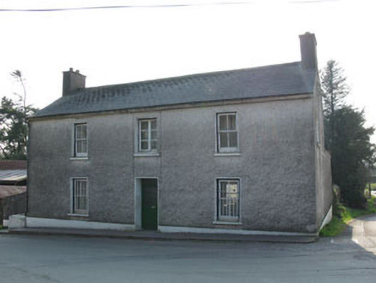 garda station/constabulary barracksgarda station/constabulary barracks · 212 yd
 Historic buildingOfficially recorded historic building · 216 yd
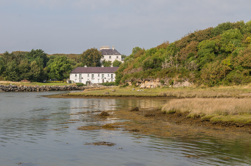 Enclosure in Rusheen (muskerry East By.)Enclosure · 454 yd
 CairnCairn, radial-stone cairn · 690 yd
 Black WoodWood · 706 yd
 BurrenMountain / peak · 1.9 mi
 Ummera WoodWood · 2.0 mi
 Clonavrick CliffCliff · 2.4 mi
 Mullinhassig WaterfallWaterfall · 2.8 mi
 Carrigadrohid Castle InfoVisitor information · 3.0 mi
 Carrigadrohid CastleHeritage attraction · 3.0 mi
 Carrigadrohid Castle (in Ruins)Castle, tower house · 3.0 mi
Other information
Photo: Credit not shown in the picture search · Rights wording not checked; contact us if this picture should be removed