What is recorded here
In gently undulating wettish-average pasture, located on the SE-facing slope of a low rise, giving very good views.
Raised, roughly circular area (25.4m NW–SE; 22.8m NE–SW) defined by a stony earthen bank (Wth 4m NW; 3.6m at SE; int. H 0.75m at NW, 0.04m at SE; ext. H 1.3m at NW, 1.2m at SE). The interior is level and featureless. There are several eroded breaks in the bank. The entrance may have been on the E half of the enclosure, where there are two gaps: (Wth 2m) at the ENE, (Wth 2m) at SE.
Grass cover, with some gorse on the bank at S–W. There is an enclosure (MA022-052----) 125m to NNE, and there are two raths (MA022-065----; MA022-066----) c. 275m to SE.
Compiled by: Jane O’Shaughnessy
Date of upload: 2 May 2019
The monument record does not grant public access. Check the route and ask the landowner before entering private land.
- What survives
- Recorded monument
Places near here
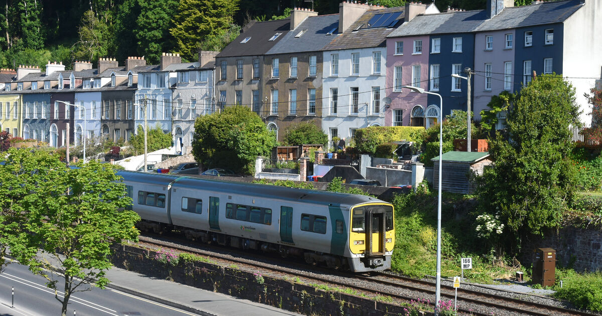 RathduffFairy fort / earthen ringfort · 333 yd
 IndicatedFairy fort / earthen ringfort · 385 yd
 CastleCastle, unclassified · 592 yd
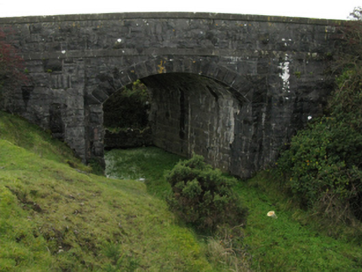 bridgebridge · 598 yd
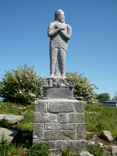 Grave monumentGrave monument · 1.0 mi
 Gortabradawn PointHeadland · 1.2 mi
 Moyne AbbeyHeritage attraction · 1.2 mi
 Ballinteean CastleCastle · 1.3 mi
 Battlefields of MoyneBattlefield · 1.4 mi
 Barnasock PointHeadland · 1.6 mi
 Goose IslandIslet · 1.8 mi
 Horse IslandIslet · 1.9 mi