What is recorded here
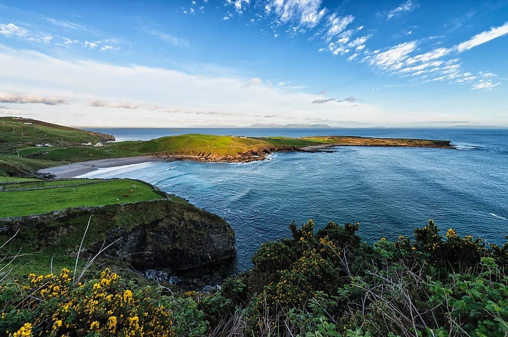
In average pasture, located on the level top of an E–W ridge, at the break of slope on the N side, giving good views to NW–N over lowlying pasture and to NE across Killala Bay. There is a large knoll immediately to NNE.
Roughly D-shaped area (21.5m E–W; 25m N–S) enclosed by an earthen bank (Wth 2.3m; int. H 0.75m at NW, 0.5m at E; ext. H 0.8m at NW, 0.5m at E). The straight side is at W. The bank is best preserved at NW-N where it coincides with an abrupt natural fall of ground, but is very low and degraded at SE–SSW. There are several eroded gaps, including at ESE (Wth 2.2m), at W (3.8m) and at NW (Wth 3.3m).
The level interior is not noticeably raised. In the SW quadrant there is a slightly raised circular feature (diam. c. 7.5m), which may be a hut site (MA022-037001-). There is another enclosure (MA022-037----) 90m to NNE.
Compiled by: Jane O’Shaughnessy
Date of upload: 30 April 2019
The monument record does not grant public access. Check the route and ask the landowner before entering private land.
- What survives
- Recorded monument
Places near here
 Bawn in Meelick (tirawley By.)Bawn · 383 yd
 Enclosure in Meelick (tirawley By.)Enclosure · 424 yd
 Enclosure in Tawnaghmore LowerEnclosure · 545 yd
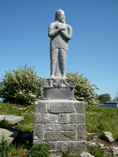 Grave monumentGrave monument · 845 yd
 bridgebridge · 1007 yd
 CastleCastle, unclassified · 1543 yd
 Battle of Killalabattle · 1649 yd
 Battlefields of MoyneBattlefield · 1.1 mi
 Green IslandIslet · 1.1 mi
 Moyne AbbeyHeritage attraction · 1.5 mi
 Rinnaun PointHeadland · 1.7 mi
 Bartragh IslandIsland · 2.0 mi
Other information
Photo: Credit not shown in the picture search · Rights wording not checked; contact us if this picture should be removed