What is recorded here
In level grassland on the E bank of the Cannahowna River. Indicated and annotated 'G.P.' (gravel pit) on the OS Fair Plan and as an irregular enclosed tree plantation on the OS 1:2500 plan (surveyed 1912-16). An oval flat-topped mound of earth and stone (30m NE-SW; 24m NW-SE) is visible. Slight traces of a low bank are visible at S. Large rocks and boulders are scattered in the WSW sector. Most of the trees have been removed. Possibly a quarry site that was subsequently landscaped.
Compiled by: Olive Alcock]
Date of upload: 29 July 2019
The monument record does not grant public access. Check the route and ask the landowner before entering private land.
- What survives
- Recorded monument
Places near here
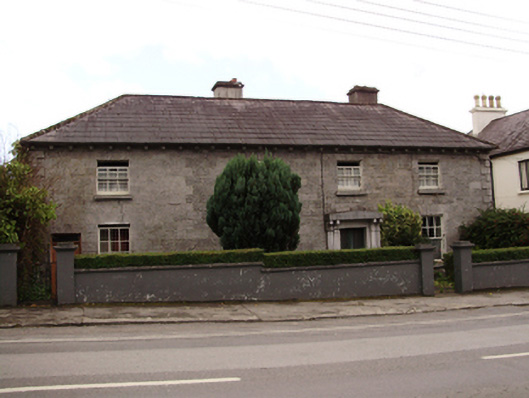 RIC barracksRIC barracks · 165 yd
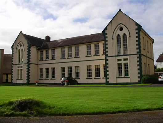 Saint Patrick's Conventschool · 192 yd
 Cavalry Bks on Site of Gort CastleCastle, unclassified · 489 yd
 Tobermacduagh or Cloghannanack WellHoly well · 863 yd
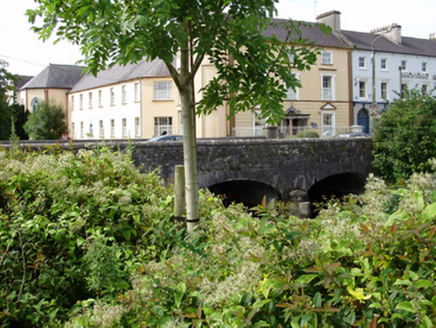 IndicatedFairy fort / stone ringfort · 1173 yd
 Bawn in Castlequarter (kiltartan By.)Bawn · 1.8 mi
 Holm OakHolm Oak · 1.9 mi
 Coole ParkWood · 2.1 mi
 Castle IslandIsland · 2.2 mi
 Holly IslandIslet · 2.6 mi
 Kilmacduagh Monastic SiteVisitor information · 3.0 mi
 Kilmacduagh MonasteryHeritage attraction · 3.1 mi