
What is recorded here
Indicated is a probable ringfort in County Mayo, Ireland, marked by a twenty-metre earthen bank rising forty centimetres above pasture on a low hill. A stone field fence now crosses the ancient earth, blending human ownership with older mystery. The site may have served people long before records, while local imagination still shapes it into a fairy fort where the boundary between worlds thins.
In pasture, atop low hill. Circular area enclosed by arc of earthen bank (L 20m; H 0.4m) W to NE, overlain by stone field fence. Probably a ringfort.
The above description has been derived from D. Lavelle (compiler), An Archaeological Survey of Ballinrobe and District including Lough Mask and Lough Carra. Lough Mask and Lough Carra Tourist Development Association (1994), No. 459J.
Date of upload: 12 January 2015
The monument record does not grant public access. Check the route and ask the landowner before entering private land.
- What survives
- Recorded monument
Places near here
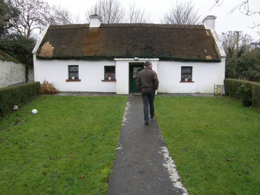 farm housefarm house · 101 yd
 Bawn in Kilkeeran (kilmaine By., Kilmainebeg Par.)Bawn · 361 yd
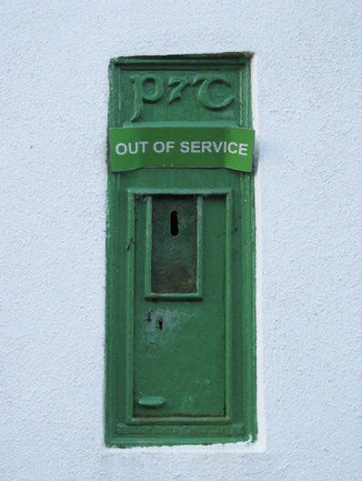 post boxpost box · 1151 yd
 Enclosure in Cross EastEnclosure · 1.2 mi
 Enclosure in FountainhillEnclosure · 1.3 mi
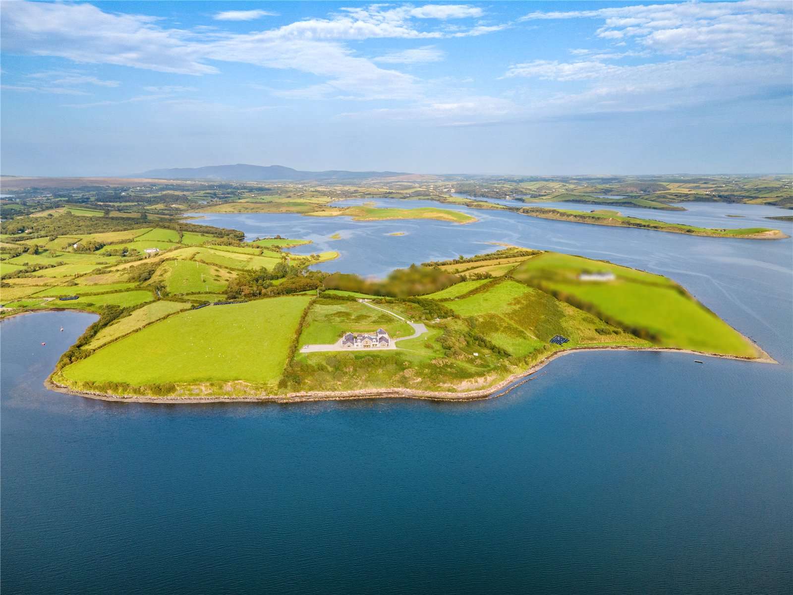 CastleCastle, tower house · 1.5 mi
 Gibbs IslandsIslet · 3.4 mi
 Cregg PlantationForest · 3.6 mi
 Easter IslandIslet · 4.0 mi
 Pesooge PlantationForest · 4.2 mi
 Cong AbbeyHeritage attraction · 4.9 mi
 Quiet Man MuseumMuseum · 5.0 mi
Other information
Photo: Credit not shown in the picture search · Rights wording not checked; contact us if this picture should be removed