What is recorded here
In poor-average, undulating pasture, located on a rise, with a sharp fall of ground to W-NW.
A circular enclosure (diam. 25-30m) is shown on the 1838 OS 6-inch map; it is not shown on later editions. This possible rath is evident as a slightly raised circular area (diam. 30m) defined ESE-S by a partly levelled scarp (H 1m), which is reduced to a low undulation elsewhere. The interior is level and grass-covered. The entrance was most likely to the E, where the natural slope is gentle. When inspected in 1996, two straight field walls truncated the scarp at W and S, and there were two sod-covered heaps of stone, most likely field clearance, on the scarp at the SE; these have since been removed.
Compiled by: Jane O'Shaughnessy
Date of upload: 9 July 2020
The monument record does not grant public access. Check the route and ask the landowner before entering private land.
- What survives
- Recorded monument
Places near here
 Cloonfane National Schoolschool · 377 yd
 IndicatedFairy fort / earthen ringfort · 1488 yd
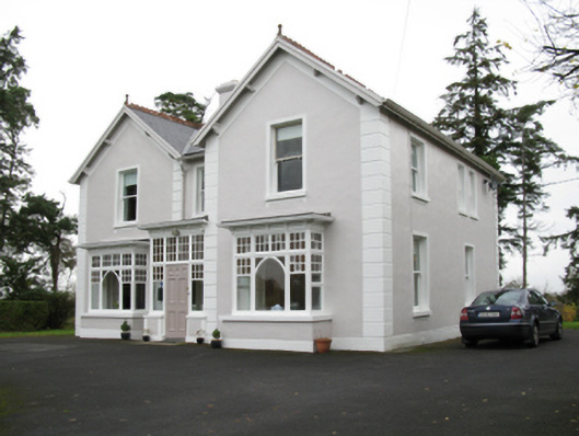 presbytery/parochial/curate's housepresbytery/parochial/curate's house · 1565 yd
 Man-made underground passage in Calveagh LowerMan-made underground passage · 1.4 mi
 Old Cave Burial GroundArchaeological place · 2.8 mi
 Bockagh HillMountain / peak · 4.7 mi
 Casatle (ruins)Castle, unclassified · 6.1 mi
 Crunaun Castle (in ruins)Castle, unclassified · 6.6 mi
 East Mayo Brigade MonumentMemorial · 8.3 mi
 Crow IslandIslet · 11 mi
 Castle PointHeadland · 11 mi
 Druminagh WoodForest · 12 mi