What is recorded here
At end of lane to S of road. Front (S) of 5 bays, central door with projecting jambs covered by thatch. Attic windows in end walls. Hipped roof with thatch; central chimney and second chimney off-centre to right (E). Small modern addition to rear.
The above description is derived from the published 'Archaeological Inventory of County Cork. Volume 4: North Cork' (Dublin: Stationery Office, 2000). In certain instances the entries have been revised and updated in the light of recent research.
Date of upload/revision: 14 January 2009
The monument record does not grant public access. Check the route and ask the landowner before entering private land.
- What survives
- Recorded monument
Places near here
 Cill ma Guaire (in Ruins)Church · 666 yd
 Crannavella TreeHoly well · 727 yd
 Burnt spread in Curraghcloonabro EastBurnt spread · 1374 yd
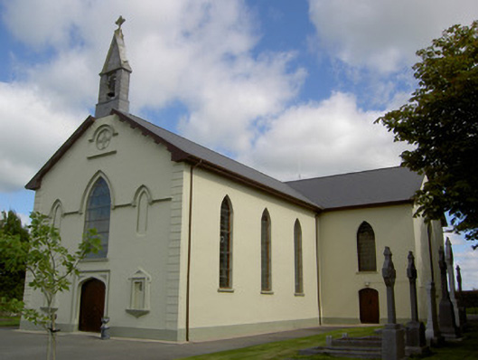 Saint Joseph's Churchchurch/chapel · 1.0 mi
 TumulusCastle, motte · 1.8 mi
 Castle (Site of)Castle, unclassified · 2.1 mi
 Windmill HillMountain / peak · 4.0 mi
 Holy Cross CemeteryGraveyard · 4.6 mi
 Ballyhoura WayWalking route · 5.0 mi
 Battle of LiscarrollMajor battlefield · 5.2 mi
 ToberacappeenSpring · 5.2 mi
 National Co-op MuseumMuseum · 5.2 mi