What is recorded here
In pasture, located a gentle break of slope on the S side of an E–W ridge, with excellent views in all directions.
This ringfort, possibly a cashel, is engulfed in dense blackthorn and brambles, which impeded inspection. It consists of a broadly oval area (c. 25m E−W; 20m N−S) defined by a substantial sod-covered stony bank (Wth c. 3-4m; int. H 0.3m at SW, 1m at NW; ext. H 0.8m at SW, 1m at NW), possibly a collapsed drystone wall, which is covered in dense overgrowth and piles of field clearance stones. There appears to be a gap (Wth c. 3-4m) at N, now obscured by overgrowth. The interior is level, built up on the S side to compensate for the natural ridge slope. There is a Man-made underground passage (MA050-004002-) in the centre of the interior. A stony rise is evident on the S edge of the interior, possibly a field clearance heap; it is obscured by overgrowth. A possible rath (MA050-001-/MA049-062-) is located 70m to W.
Compiled by: Jane O’Shaughnessy
Date of upload: 12 June 2020
The monument record does not grant public access. Check the route and ask the landowner before entering private land.
- What survives
- Recorded monument
Places near here
 Killasser Church (in ruins)Church · 704 yd
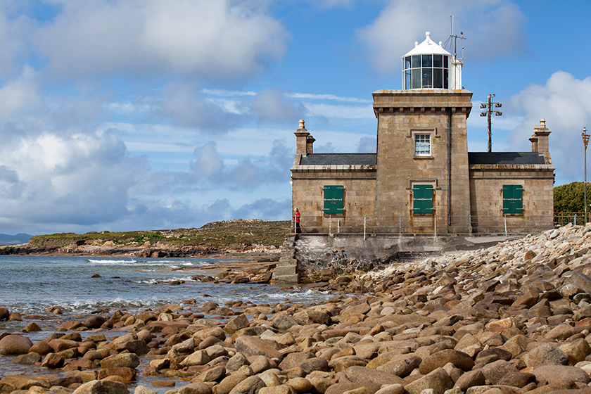 Enclosure in KnockmullinEnclosure · 1030 yd
 Killasser chapelChurch · 1.8 mi
 Castle (in Ruins)Castle, tower house · 1.9 mi
 HawthornHawthorn · 2.6 mi
 Hennigan's Heritage CentreHeritage attraction · 2.6 mi
 Procession Of The SoulsMemorial · 4.4 mi
 Youth Memorial GardenMemorial · 4.4 mi
 Brabazon WoodsForest · 4.7 mi
 KnockasliggaunMountain / peak · 5.3 mi
 Castle Carragh in RuinsCastle, unclassified · 5.8 mi