What is recorded here
In pastureland. Marked on the OS 6-inch maps as a roughly subrectangular enclosure (c. 60m WNW-ESE; c. 59m NNE-SSW) planted with mixed trees with a fosse outside the enclosing element from NW to SE. On inspection in September 1982 it was found that the trees had been cleared and no visible surface trace of the enclosing element survived. However, the outline of the fosse is visible on the OSI digitalglobe AP. This was probably an ornamental feature associated with Coole House (GA112-052----).
Compiled by: Olive Alcock
Date of upload: 11 October 2017
The monument record does not grant public access. Check the route and ask the landowner before entering private land.
- What survives
- Recorded monument
Places near here
 Holm OakHolm Oak · 565 yd
 Common LimeCommon Lime · 657 yd
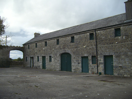 Ballynamantan Houseoutbuilding · 773 yd
 Ballynamantan Ho.House, 18th/19th century · 775 yd
 Enclosure in GlenbrackEnclosure · 984 yd
 Man-made underground passage in Castletown (kiltartan By.)Man-made underground passage · 1264 yd
 Kiltartan Castle (in ruins)Castle, Anglo-Norman masonry castle · 1431 yd
 Cavalry Bks on Site of Gort CastleCastle, unclassified · 1.6 mi
 Drumharsna CastleHeritage attraction · 3.7 mi
 Kilmacduagh Monastic SiteVisitor information · 3.8 mi
 Kilmacduagh MonasteryHeritage attraction · 3.9 mi
 Castle IslandIsland · 4.0 mi