What is recorded here
On a gentle ridge in pastureland overlooking lower land to the N and NE. Indicated on the 1922 edition of the OS 6-inch map as a roughly circular enclosed tree copse (diam. c. 38m). No visible surface trace survives. It was probably an ornamental feature associated with Coole House (GA112-052----).
Compiled by: Olive Alcock
Date of upload: 11 October 2017
The monument record does not grant public access. Check the route and ask the landowner before entering private land.
- What survives
- Recorded monument
Places near here
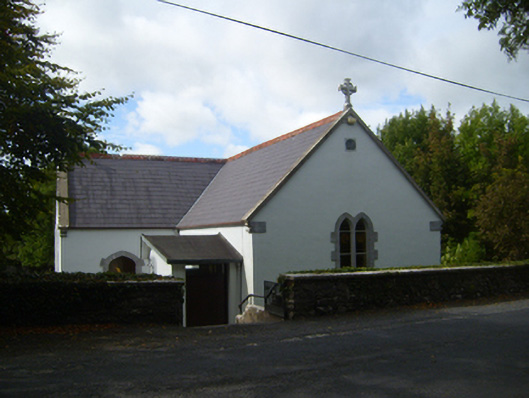 Saint Attracta's Catholic Churchchurch/chapel · 222 yd
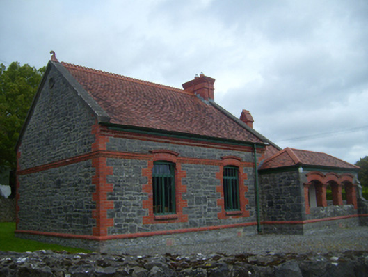 Kiltartan Gregory Museumschool · 375 yd
 Man-made underground passage in Castletown (kiltartan By.)Man-made underground passage · 923 yd
 European BeechEuropean Beech · 1257 yd
 Common LimeCommon Lime · 1265 yd
 Kiltartan Castle (in ruins)Castle, Anglo-Norman masonry castle · 1391 yd
 EnclosureEnclosure, large enclosure · 1.1 mi
 Ballylee CastleCastle, tower house · 1.9 mi
 Drumharsna CastleHeritage attraction · 3.2 mi
 Kilmacduagh Monastic SiteVisitor information · 4.4 mi
 Castle IslandIsland · 4.4 mi
 Kilmacduagh MonasteryHeritage attraction · 4.5 mi