
What is recorded here
On a prominent NE-SW running ridge. This large well-preserved circular enclosure (diam c. 97m) is defined by two banks and an intervening fosse best preserved at N. The outer bank is visible from NW through N to ESE. On the 1838 edition of the OS 6-inch map a trackway is shown running through the monument from ESE to WNW. A later field wall now runs on this aligment. Wide gaps at ESE (Wth 10.5m) and WNW 9.8m) may be original. Two raths (GA123-078---- and GA123-079----) lie c. 70m and c. 177m to the SSW and SW respectively.
Compiled by: Galway Archaeological Survey, UCG
Date of upload: 27 February 2018
The monument record does not grant public access. Check the route and ask the landowner before entering private land.
- What survives
- Recorded monument
Places near here
 Enclosure in NewhallEnclosure · 1022 yd
 European ashEuropean ash · 1330 yd
 CrossCross · 1331 yd
 HawthornHawthorn · 1383 yd
 IndicatedChurch · 1402 yd
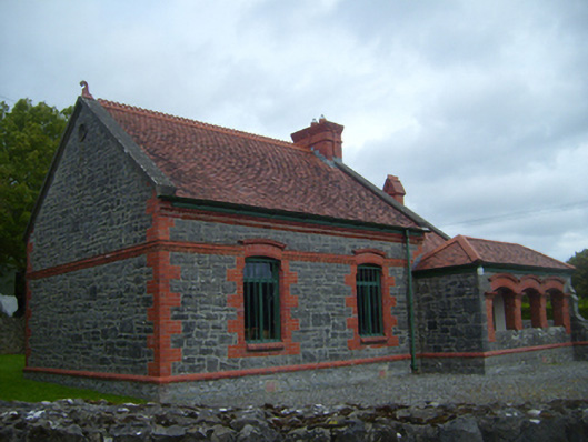 Kiltartan Gregory Museumschool · 1491 yd
 Ballylee CastleCastle, tower house · 1596 yd
 Kiltartan Castle (in ruins)Castle, Anglo-Norman masonry castle · 1.1 mi
 Drumharsna CastleHeritage attraction · 3.3 mi
 Castle IslandIsland · 4.6 mi
 Holly IslandIslet · 4.7 mi
 Kilmacduagh Monastic SiteVisitor information · 5.3 mi
Other information
Photo: Credit not shown in the picture search · Rights wording not checked; contact us if this picture should be removed