
What is recorded here
Close to the edge of a SE-facing escarpment overlooking a marshy area. Marked on the 1838 edition of the OS 6-inch map as a roughly circular enclosure (diam. c. 34m); on the 1921 map edition it is more D-shaped in plan. No visible surface trace survives.
Compiled by: Galway Archaeological Survey, UCG
Date of upload: 18 April 2019
A local fairy fort (ringfort/rath); wider significance not recorded.
The monument record does not grant public access. Check the route and ask the landowner before entering private land.
- What survives
- Recorded monument
Places near here
 EnclosureEnclosure, large enclosure · 1022 yd
 Man-made underground passage in Ballylee (kiltartan By.)Man-made underground passage · 1082 yd
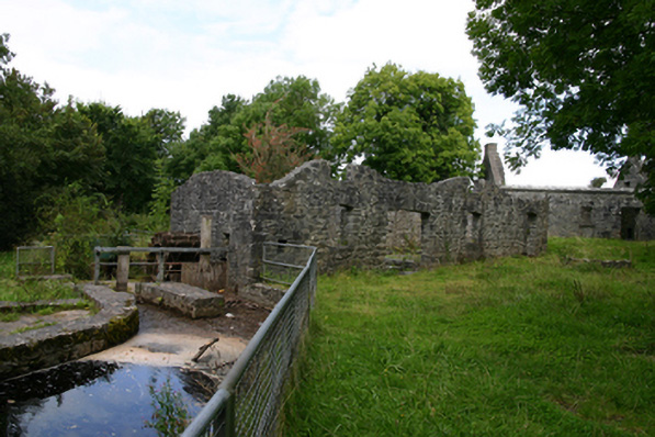 mill (water)mill (water) · 1169 yd
 European ashEuropean ash · 1184 yd
 HawthornHawthorn · 1230 yd
 IndicatedChurch · 1285 yd
 Ballylee CastleCastle, tower house · 1335 yd
 Kiltartan Castle (in ruins)Castle, Anglo-Norman masonry castle · 1.6 mi
 Drumharsna CastleHeritage attraction · 3.2 mi
 Kilmacduagh Monastic SiteVisitor information · 5.9 mi
 Kilmacduagh MonasteryHeritage attraction · 6.0 mi
 Mulroney's IslandIslet · 7.2 mi
Other information
Photo: Credit not shown in the picture search · Rights wording not checked; contact us if this picture should be removed