
What is recorded here
Indicated is a poorly preserved oval enclosure fifty metres west of a Galway ringfort, its bank now buried beneath thick overgrowth. A shallow northern depression may mark a forgotten ditch, while the main earthwork has surrendered much of its shape to decades of unbroken growth. The site stands as a ghost of boundary, visible only when the vegetation is pulled back or imagined through the soil.
Circa 50m W of a ringfort (GA074-021----). Very poorly preserved roughly oval enclosure (N-S c. 50m, E-W c. 40m) defined by a bank much obscured by thick overgrowth. A shallow depression at NW may indicated the line of an external fosse.
The above description is derived from the published 'Archaeological Inventory of County Galway Vol. II - North Galway'. Compiled by Olive Alcock, Kathy de hÓra and Paul Gosling (Dublin: Stationery Office, 1999).
Date of upload: 05 August 2010
The monument record does not grant public access. Check the route and ask the landowner before entering private land.
- What survives
- Recorded monument
Places near here
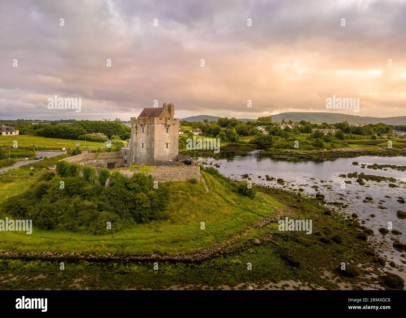 LisnarnooFairy fort / ringfort · 726 yd
 Enclosure in Ervallagh EighterEnclosure · 840 yd
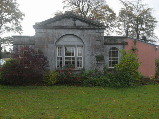 Castlegargate lodge · 1268 yd
 LismoneyForest · 1276 yd
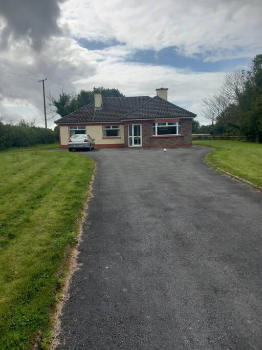 Country house in Castlegar EastCountry house · 1341 yd
 European ashEuropean ash · 1.6 mi
 Killure Castle (in ruins)Castle, tower house · 2.0 mi
 Clooncoran IslandIsland · 2.9 mi
 Site of Cloonigny CastleCastle, unclassified · 3.3 mi
 Inch IslandIsland · 4.8 mi
 Kilconnell AbbeyHeritage attraction · 5.7 mi
 Battle of Aughrim Interpretative CentreMuseum · 6.2 mi
Other information
Photo: Credit not shown in the picture search · Rights wording not checked; contact us if this picture should be removed