
What is recorded here
On the crest of a NW-SE ridge, towards its NW end. Circular grass-covered area (int. diam. 105.75m NW-SE; 97.5m NE-SW) defined by a fosse (Wth of top 5.5m at NW to 8.5m at NE; max. int. D 0.3m) and outer bank (Wth 3.5-4.8m; int. H 0.5-1.4m; ext. H 0.2-0.5m) NE-E-SE, which can be traced as slight features SE-SW and NW-NE, but the inner edge of the fosse can be traced all around. There are gaps in the bank at NE, ENE, ESE and SE, but these are probably modern. Bowl barrow (RO027-047001-) is at the centre, and two E-W field walls with hedges overlie the enclosure S of the barrow. (Herity 1984, 138)
See the attached aerial image taken from the E
Compiled by: Michael Moore
Date of upload: 24 August 2010
The monument record does not grant public access. Check the route and ask the landowner before entering private land.
- What survives
- Recorded monument
Places near here
 Enclosure in Milltown (castlereagh By., Castleteheen Ed)Enclosure · 737 yd
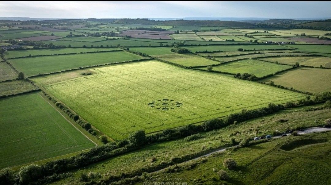 Field system in BallymaglancyField system · 1492 yd
 Quarry in Ardlagheen More OR Highlake,carrowduff UpperQuarry · 1.2 mi
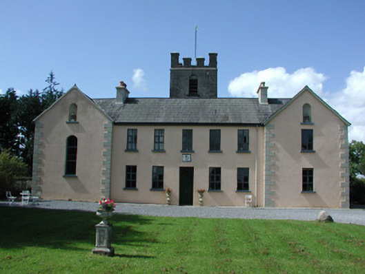 Highlake Housemonastery · 1.8 mi
 CastlerubyCastle, unclassified · 2.9 mi
 ToberagullaSpring · 3.6 mi
 European ashEuropean ash · 3.6 mi
 HawthornHawthorn · 4.1 mi
 Cruachan Aí Heritage CentreMuseum · 4.2 mi
 Leitrim CastleCastle, unclassified · 6.0 mi
 Site of Killomaine Grave YardArchaeological place · 7.5 mi
 Roscommon CastleCastle · 8.2 mi
Other information
Photo: Credit not shown in the picture search · Rights wording not checked; contact us if this picture should be removed