What is recorded here
Situated in a slight natural hollow in gently undulating terrain. Square enclosure (dims. 30m x 30m) defined by an earthen bank (Wth 4.5m; H 0.9-1.2m) and an external flat-bottomed fosse (Wth 6.5m; D 1.7-2.5m) except at the NE angle where the bank is levelled. The moat is fed by a leat from a stream at the N side (Simpson 1994, 216). The interior is level and featureless, with no indication of an entrance.
The above description is derived from the published 'Archaeological Inventory of County Wicklow' (Dublin: Stationery Office, 1997). In certain instances the entries have been revised and updated in the light of recent research.
Date of upload/revision: 17 December 2008
The monument record does not grant public access. Check the route and ask the landowner before entering private land.
- What survives
- Recorded monument
Places near here
 Enclosure in Inchanappa SouthEnclosure · 205 yd
 Church in Inchanappa SouthChurch · 446 yd
 Enclosure in BroomfieldEnclosure · 553 yd
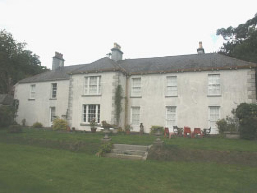 Ballina Park Housefarm house · 648 yd
 Rauli beechRauli beech · 778 yd
 Nymans eucryphiaNymans eucryphia · 793 yd
 CastleCastle, unclassified · 1.2 mi
 Round MountCastle, motte · 2.9 mi
 Devil's Glen WaterfallWaterfall · 3.2 mi
 Carrick MountainMountain / peak · 3.5 mi
 Glen Beach Cliff WalkWalking route · 4.5 mi
 Silver StrandBeach / strand · 5.4 mi