What is recorded here
This site, marked as a circular enclosure on the first edition of the OS map, is now located in dense forestry. Situated on a S facing slope N of Lough Derriana, it was not located.
The above description is derived from A. O'Sullivan and J. Sheehan (compilers), 'The Iveragh peninsula: an archaeological survey of South Kerry'. Cork University Press (1996), no. 802. In certain instances the entries have been revised and updated in the light of recent research.
Date of upload: 29 July 2013
The monument record does not grant public access. Check the route and ask the landowner before entering private land.
- What survives
- Recorded monument
Places near here
 IndicatedFairy fort / earthen ringfort · 1016 yd
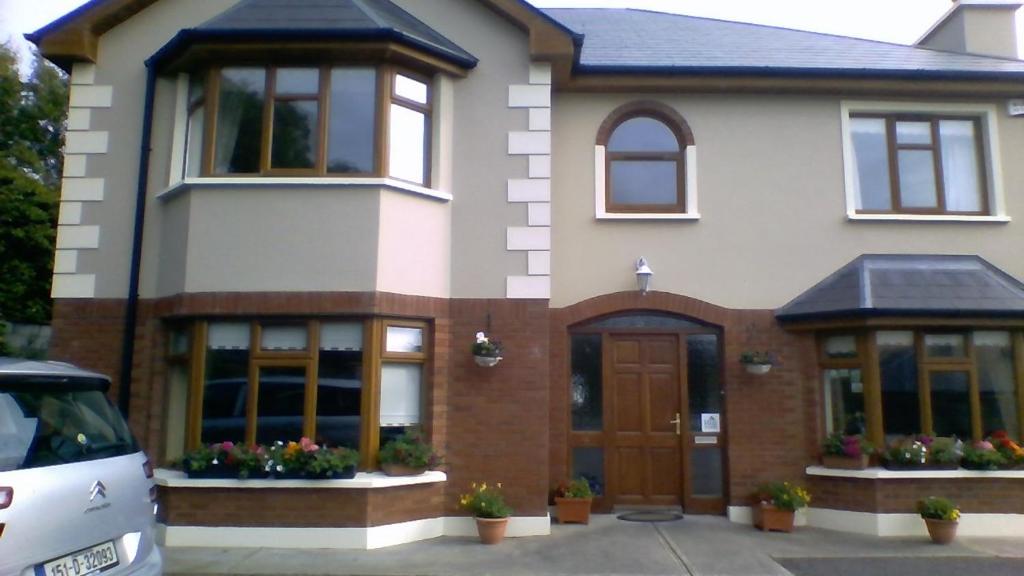 Enclosure in Drom Na CoilleEnclosure · 1046 yd
 Cnoc na gCáinte (mullach thiar)Mountain / peak · 2.0 mi
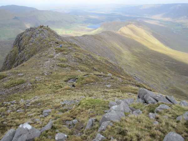 An Bhinn LáirMountain / peak · 2.2 mi
 RoadRoad, road/trackway · 4.1 mi
 Scoil Náisiúnta Máistir Gaoithe [Mastergeehy National School]school · 4.4 mi
 Short Castle (Site of)Castle, unclassified · 6.0 mi
 De Gaulle MemorialMonument · 6.7 mi
 Sneem Commemoration PlaqueMemorial · 6.8 mi
 Coral BeachBeach / strand · 8.0 mi
 GarinishIslet · 8.5 mi
 Laharn Bog LoopWalking route · 8.5 mi