What is recorded here
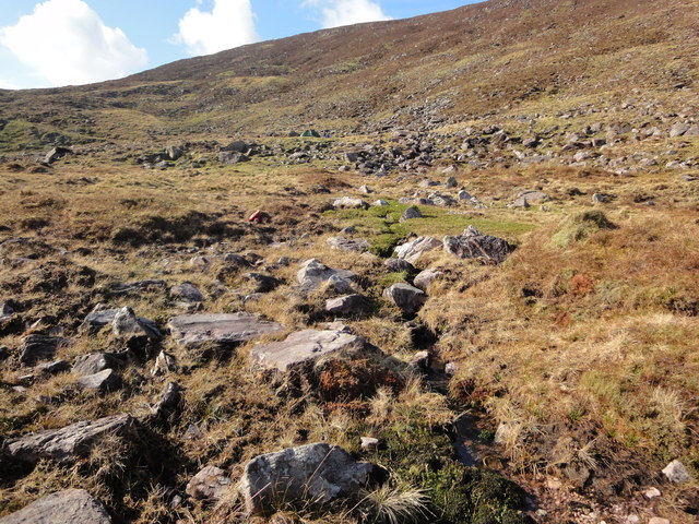
In rough hill pasture, on a break in the SW-facing rocky slopes of Colly East Mountain. The remains of a circular hut site (diam. 2m) defined by a collapsed drystone wall (T 0.6m; H 0.5m). A boulder is incorporated into the wall at NW. The SW portion of the interior is raised (H 0.2m) and the NE portion is cut (D 0.4m) into the upslope to create a level interior. Rubble obscures the interior and is scattered externally along the perimeter of the hut site. There is another hut site (KE081-046001-) c. 10m to the SW.
The above description is derived from the published 'Archaeological Inventory of County Kerry. Volume I: South-West Kerry' (Dublin: Stationery Office, 2009). In certain instances the entries have been revised and updated in the light of recent research.
Date of upload: 30 May 2011
The monument record does not grant public access. Check the route and ask the landowner before entering private land.
- What survives
- Recorded monument
Places near here
 Colly EastMountain / peak · 514 yd
 William Scotts WellHoly well · 579 yd
 Knocknagapple NW TopMountain / peak · 986 yd
 Cloghane FortArchaeological place · 1025 yd
 Blackstones Bridgebridge · 4.7 mi
 Church in CaherlehillanChurch · 5.7 mi
 FeaklecallyHeadland · 7.0 mi
 Sheep Dog TrainingHeritage attraction · 7.3 mi
 Rossbeigh BeachBeach / strand · 7.4 mi
 Soft Tree-fernSoft Tree-fern · 7.6 mi
 Chilean wine palmChilean wine palm · 7.6 mi
 Kells BeachBeach / strand · 7.9 mi