What is recorded here
Along the SE perimeter of an enclosure (CL010-270----) that lies within an extensive multiperiod field system (CL010-064001-). An oval enclosure (c. 15m NW-SE; c. 8m NE-SW) defined by a grassed-over stone wall visible on Digital Globe (2011-2013) and on OSi MapGenie orthophotography (2013-2018). A hut site (CL010-271----) lies in the N interior of the enclosure.
Compiled by: Mary Tunney
Date of upload: 16 August 2023
The monument record does not grant public access. Check the route and ask the landowner before entering private land.
- What survives
- Recorded monument
Places near here
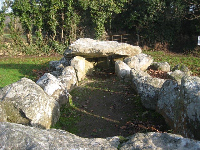 Slievenaglasha Wedge TombArchaeological place · 117 yd
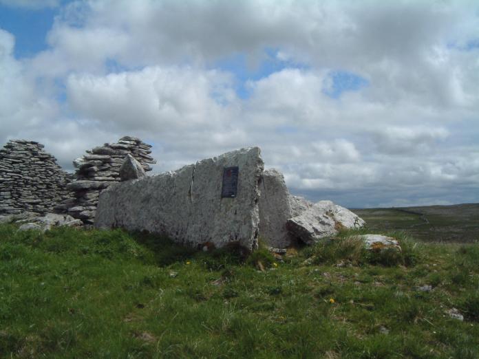 Enclosure in SlievenaglashaEnclosure · 165 yd
 Father Ted's HouseHeritage attraction · 1734 yd
 Glenquin Housefarm house · 1741 yd
 Castle (in ruins)Castle, unclassified · 1.0 mi
 Correen R.C. Chapel (in ruins)Church · 1.0 mi
 Castle in ruinsCastle, tower house · 1.0 mi
 Burren National ParkVisitor information · 1.6 mi
 Farbrega RockNamed rock · 2.5 mi
 PoulnabroneMemorial · 3.8 mi
 Fergus River CaveCave · 3.9 mi
 Poulnabrone - Burren GeositeVisitor information · 4.2 mi