What is recorded here
Located within the interior of rectangular enclosure (CL005-231----), which is very overgrown with hazel scrub and briars. A small rectangular area, which is defined by the remains of a low drystone wall (H 0.3-0.7m; Wth 0.45m), encloses the S angle of the large enclosure. Two hut sites are located within. This record is for the southern hut site (diam. 2.5m) defined by a drystone wall (H 0.5-0.9m; T 1m), with no obvious entrance. The interior is level and compact. A rectangular lamb-fold (int. dims. 1.3m NE-SW; 1m NW-SE; H 0.3-0.4m) abuts to NW. It is defined by a drystone wall (T 0.5m) and is open to NE. A second hut site (CL005-233----) is adjacent.
The following images have been uploaded:
CL005-232----_01.jpg From N. General view of hut site.
CL005-232----_02.jpg From NE. NE-facing elevation of exterior wall of hut site.
CL005-232----_03.jpg From NW. Lamb-fold abutting hut site (in background).
Compiled by: Mary Tunney, Alison McQueen and Vera Rahilly
Date of upload: 18 December 2018
The monument record does not grant public access. Check the route and ask the landowner before entering private land.
- What survives
- Recorded monument
Places near here
 OoanknocknagroaghFairy fort / stone ringfort · 309 yd
 Enclosure in KnocknagroaghEnclosure · 367 yd
 Catholic Church of Saint John the Baptistchurch/chapel · 1006 yd
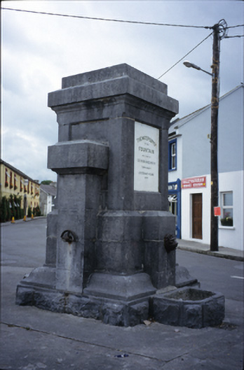 Ballyvaghan Fountainfountain · 1247 yd
 Newtown CastleCastle, tower house · 1361 yd
 Ballyvaghan Castle (in ruins)Castle, unclassified · 1605 yd
 Bird Of Prey CentreHeritage attraction · 1.0 mi
 Aillwee CaveCave · 1.2 mi
 Rine PointHeadland · 1.9 mi
 CappanawallaMountain / peak · 2.2 mi
 Gleninshing portal tombHeritage attraction · 2.8 mi
 PoulnabroneMemorial · 3.8 mi