What is recorded here
Eaglehill in Carlow still holds an eleven-metre circular hut site near its summit, marked by a low bank and possibly an outer fosse. It sits fifty metres from an industrial area where iron slag remains visible, linking domestic life to noisy metalwork under the same sky. Whoever built that small ring likely watched the valley, listened for hammers, and shared meals close enough to smell the smoke. The hill has kept both functions alive, preserving the shape of a place where living and making never fully separated.
The following description is derived from the published 'Archaeological Inventory of County Carlow' (Dublin: Stationery Office, 1993). In certain instances the entries have been revised and updated in the light of recent research.
Date of upload/revision: 17 July 2007
Circular area (diam. 11m), defined by low bank (av H 0.2m). Possible external fosse and outer bank visible N-E-SE. Close to hill summit, c. 50m NE of industrial area with iron slag (CW004-051----) (CW004-052----)
The monument record does not grant public access. Check the route and ask the landowner before entering private land.
- What survives
- Recorded monument
Places near here
 Eagle HillMountain / peak · 12 yd
 Enclosure in Eaglehill (clonmore Ed)Enclosure · 76 yd
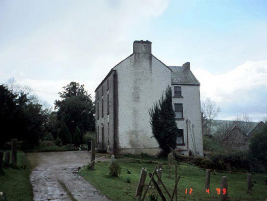 Woodside Househouse · 791 yd
 Saint Brigid's Catholic Churchchurch/chapel · 1319 yd
 Hilltop enclosure in ConstablehillHilltop enclosure · 1712 yd
 Clonmore MoatCastle, motte and bailey · 1.8 mi
 Clonmore Castle (in Ruins)Castle, Anglo-Norman masonry castle · 1.9 mi
 Sessile OakSessile Oak · 3.0 mi
 Church (in ruins), GraveyardChurch · 3.7 mi
 Chapel (in ruins), GraveyardChurch · 3.8 mi
 Ballycumber HillMountain / peak · 3.9 mi
 European BeechEuropean Beech · 4.3 mi