
What is recorded here
Poorly defined rectilinear enclosure (dims. c. 3m x c. 13m), 3m SE of Hut B (CW004-055003-).
Compiled by: Claire Breen
Date of upload: 19 August 2011
A local fairy fort (ringfort/rath); wider significance not recorded.
The monument record does not grant public access. Check the route and ask the landowner before entering private land.
- What survives
- Recorded monument
Places near here
 Eagle HillMountain / peak · 68 yd
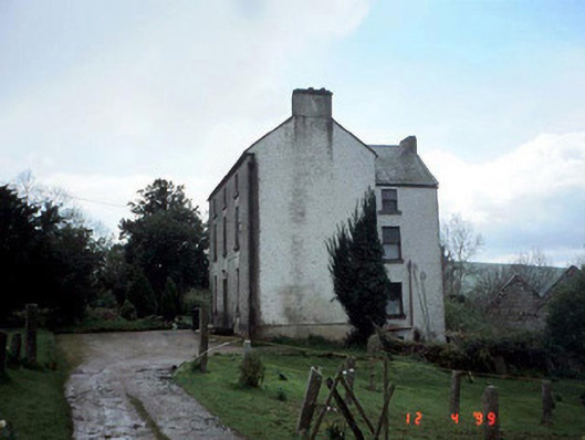 Woodside Househouse · 867 yd
 Saint Brigid's Catholic Churchchurch/chapel · 1361 yd
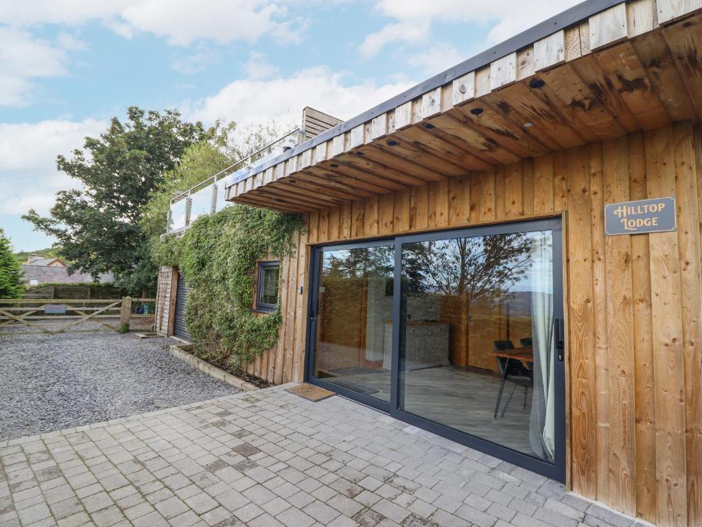 Hilltop enclosure in ConstablehillHilltop enclosure · 1.0 mi
 Church Hill, Graveyard (site of)Church · 1.3 mi
 Clonmore MoatCastle, motte and bailey · 1.8 mi
 Clonmore Castle (in Ruins)Castle, Anglo-Norman masonry castle · 1.9 mi
 Sessile OakSessile Oak · 3.0 mi
 Church (in ruins), GraveyardChurch · 3.7 mi
 Chapel (in ruins), GraveyardChurch · 3.8 mi
 Ballycumber HillMountain / peak · 3.8 mi
 European BeechEuropean Beech · 4.3 mi
Other information
Photo: Credit not shown in the picture search · Rights wording not checked; contact us if this picture should be removed