What is recorded here
One of a cluster of six huts. A D-shaped hut of rough construction, abutting an old field wall at W. An entrance gap at NE, .75m wide. D: 2.9m x 2.4m. H: 15m. T: 1m. The field wall, partly submerged beneath the boggy surface, measures c. 150m long and averages .6m wide and .6m high.
The above description is derived from A. O'Sullivan and J. Sheehan (compilers), 'The Iveragh peninsula: an archaeological survey of South Kerry'. Cork University Press (1996), no. 1250. In certain instances the entries have been revised and updated in the light of recent research.
Date of upload: 31 July 2013
The monument record does not grant public access. Check the route and ask the landowner before entering private land.
- What survives
- Recorded monument
Places near here
 Gap of DunloeMountain pass · 1155 yd
 Head of DunloeViewpoint · 1167 yd
 Mass-rock in CloghernooshMass-rock · 1.0 mi
 Cnoc an BhrácaMountain / peak · 1.2 mi
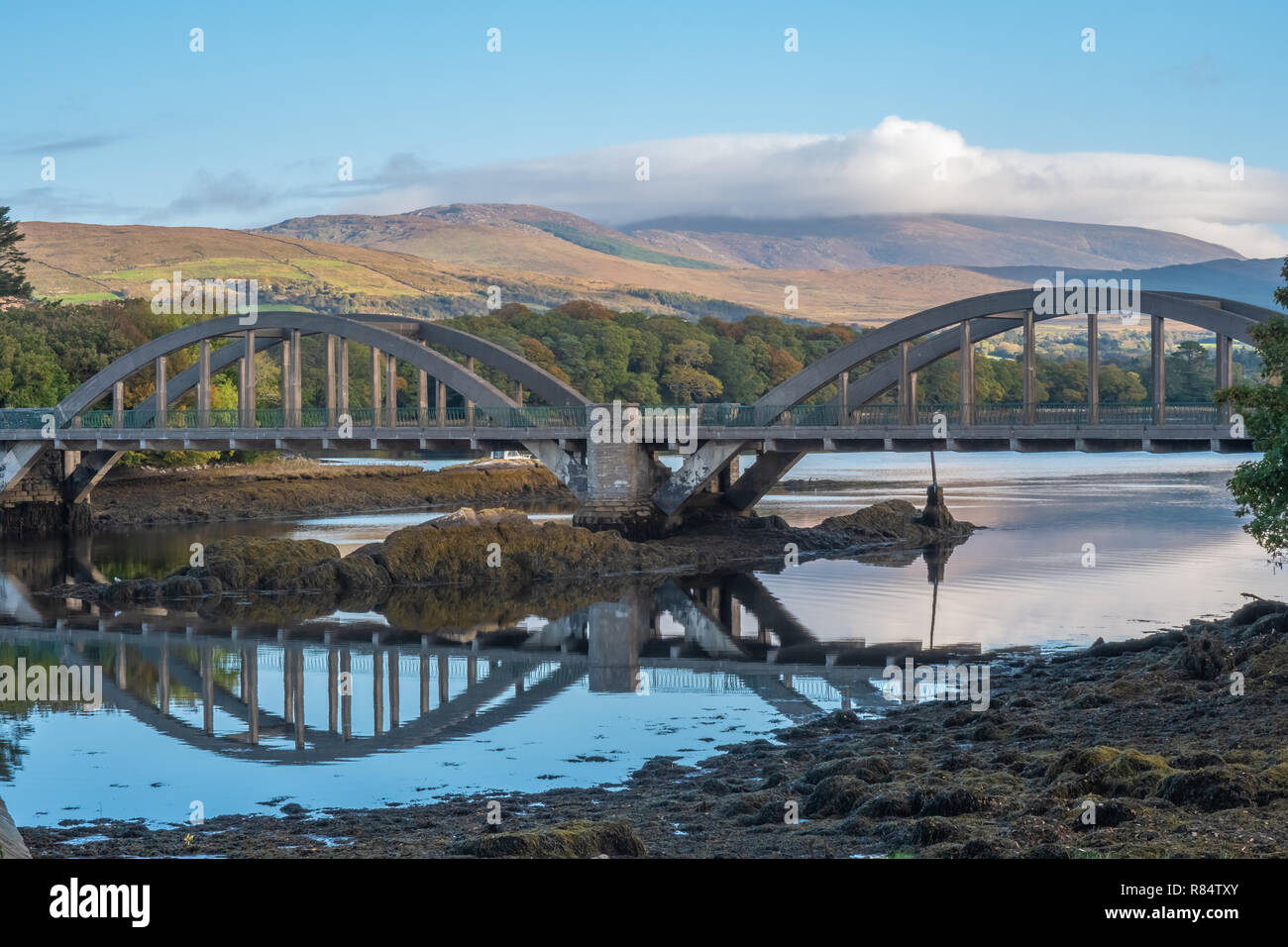 Very small BridgeHeritage attraction · 1.3 mi
 The Big GunMountain / peak · 1.4 mi
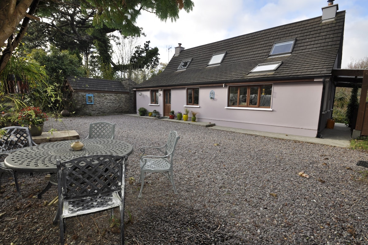 Hut site in AlohartHut site · 1.7 mi
 Lord Brandon's CottageRuins · 1.8 mi
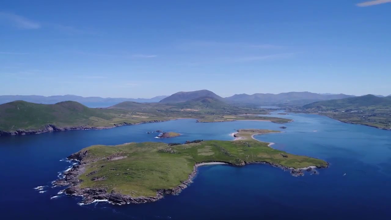 McCarthy's IslandIslet · 2.4 mi
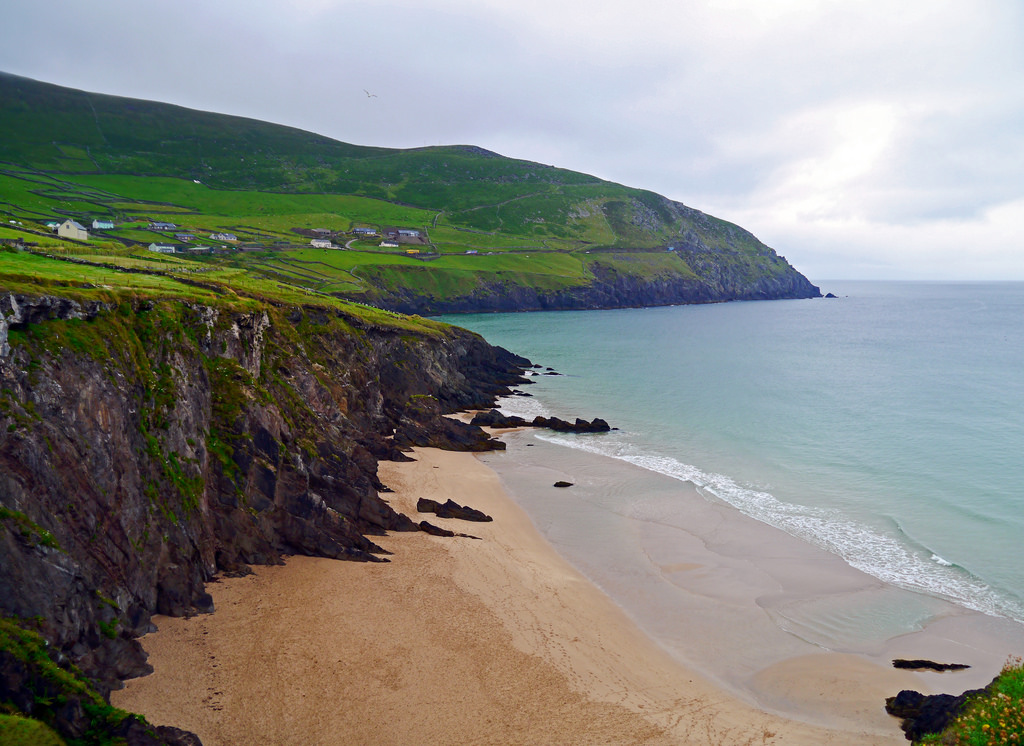 Ronayne's IslandIslet · 2.5 mi
 Devil's Ladder RouteWalking route · 2.8 mi
 Eirk Bog Nature ReserveNature reserve · 3.2 mi