What is recorded here
Possible conjoined hut sites described by Cuppage (1986, 402, no. 1227) as follows; 'In rough rocky pastureland, on a W facing slope below the summit of the SW end of the Mount Eagle to Slea Head ridge. An oval, corbelled drystone foundation [KE052-138001-]. Possible remains of a conjoined structure at E, and less certain traces of a 3rd structure a little downslope to W'.
The monument record does not grant public access. Check the route and ask the landowner before entering private land.
- What survives
- Recorded monument
Places near here
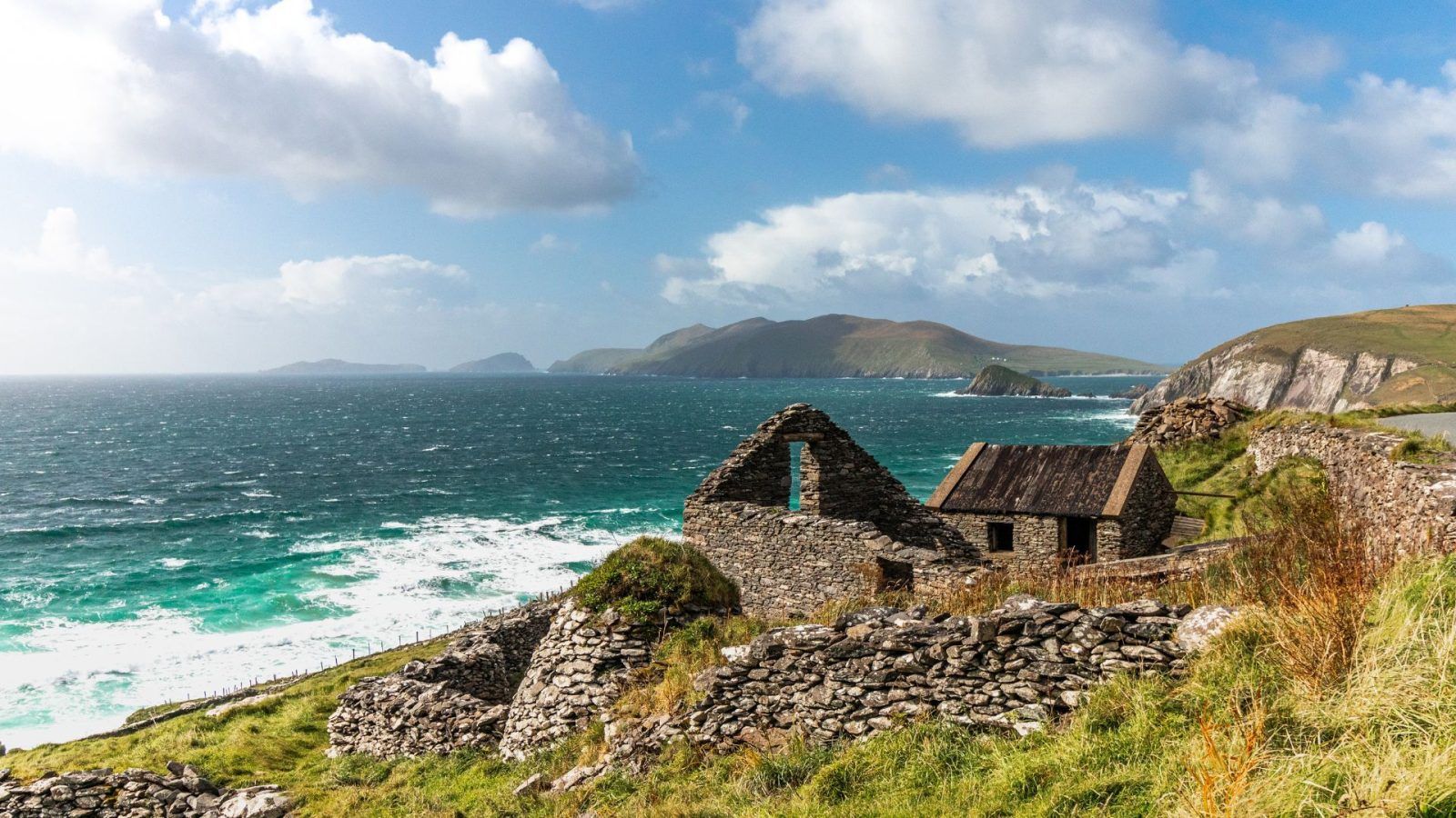 CloghaunsHut site · 208 yd
 CloghaunHut site · 226 yd
 Ceann SléibheHeadland · 682 yd
 Binn an ChomaMountain / peak · 1040 yd
 Clochán MórHeritage attraction · 1069 yd
 Hold a Baby LambHeritage attraction · 1119 yd
 Traigh an ChomaBeach / strand · 1121 yd
 Na Leacacha RéidheCliff · 1451 yd
 Dunmore HeadViewpoint · 1.2 mi
 Sliabh an IolairMountain / peak · 1.3 mi
 Church in Baile An GhleannaChurch · 1.6 mi
 Church in Gleann LoicChurch · 2.0 mi