What is recorded here
On the E slopes of the valley that extends NE from Dingle Town. A possible hut site now represented by a sub-circular area, 3.21m in diameter, enclosed by a bank of earth and stones, up to 1.1m high and c. 1.65m wide. There is an entrance gap in the E sector, and a large mound of stones outside this may be a field clearance dump.
The above description is derived from J. Cuppage, ‘Corca Dhuibhne. Dingle Peninsula archaeological survey. Ballyferriter. Oidhreacht Chorca Dhuibhne’ (1986), no. 1200. In certain instances the entries have been revised and updated in the light of recent research.
Date of upload: 5 August 2013
The monument record does not grant public access. Check the route and ask the landowner before entering private land.
- What survives
- Recorded monument
Places near here
 An ChorrMountain / peak · 375 yd
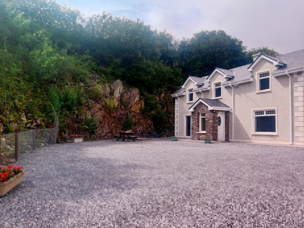 Hut site in Baile An Bhúlaeraigh TheasHut site · 684 yd
 Hut site in An GhairfeanaighHut site · 907 yd
 Mass-house in An Fearann (tc An Daingean),gort OnóraMass-house · 1.1 mi
 Saint James's Church (Dingle)church/chapel · 1.6 mi
 Castle (Site of)Castle, tower house · 1.7 mi
 An ScraigMountain / peak · 1.7 mi
 Caol Cronin - SeascapesGallery · 1.7 mi
 Charles HaugheyMemorial · 2.0 mi
 An ChonairViewpoint · 2.1 mi
 CarrignawaddraNamed rock · 2.1 mi
 Ballintaggart Ogham StonesVisitor information · 2.1 mi