What is recorded here
In rough hill pasture, partially obscured by heather and ferns and strewn with surface stones, in a NE-sloping hollow. The remains of a roughly built oval hut (3.9m E-W; 2.5m N-S) defined by a collapsed drystone wall (T 0.45m; H 0.6m). Large stones are visible in the base course. There is an entrance (Wth 0.6m) at N. Two other hut sites (KE075-018002-, KE075-018003-) are c. 15m to the NW and c. 30m to the W, respectively. An enclosure (KE075-018----), which is not visible at ground level, is c. 40m to the SE.
Compiled by: Elizabeth Byrne, Ursula Egan and Sheila Ronan, Archaeological Survey Unit, University College, Cork.
Date of upload: 31 January 2011
The monument record does not grant public access. Check the route and ask the landowner before entering private land.
- What survives
- Recorded monument
Places near here
 IndicatedEnclosure · 1.2 mi
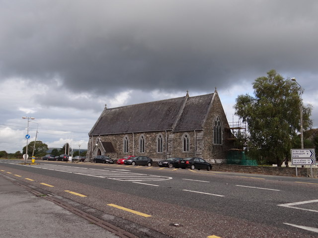 Saint Agatha's Catholic Churchchurch/chapel · 1.2 mi
 Hut site in Annagh BegHut site · 1.3 mi
 Killeen MountainMountain / peak · 1.4 mi
 CoolcurtogaMountain / peak · 2.1 mi
 Killaha Church (in Ruins)Church · 2.1 mi
 Killaha Castle (in Ruins)Castle, tower house · 2.1 mi
 BarraduffMemorial · 2.6 mi
 Castlelough BayBay · 7.2 mi
 Monterey CypressMonterey Cypress · 7.3 mi
 Torc WaterfallWaterfall · 7.3 mi
 Muckross Lake WalkWalking route · 7.4 mi