What is recorded here
In rough hill pasture, on a level break on the crest of an E-W ridge, on an E-facing slope overlooking the valley of the Owgarriff River. The remains of an oval hut site (3.1m E-W; 1.8m N-S) defined by a bank (Wth 0.5m; H 0.2m) of earth and stone. The level interior, which is in rough pasture, is raised (H 0.1m) at the E and cut (D 0.05m) into the upslope at the W to compensate for the hillslope. Another hut site (CO115-104----) is c. 80m to the SW.
The above description is derived from 'The Archaeological Inventory of County Cork. Volume 5' (Dublin: Stationery Office, 2009).
Date of upload: 22 December 2009
The monument record does not grant public access. Check the route and ask the landowner before entering private land.
- What survives
- Recorded monument
Places near here
 famine farmArchaeological place · 508 yd
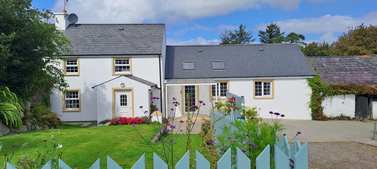 Hut site in Ballard CommonsHut site · 1078 yd
 Holly HillMountain / peak · 1346 yd
 Mass-house in ShanacoumhaMass-house · 1631 yd
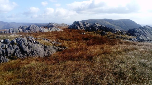 KnocknagreeMountain / peak · 1.2 mi
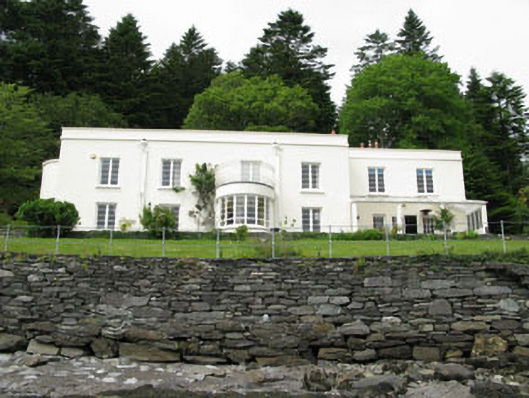 Waterfall Househouse · 1.2 mi
 TrawnablahaBeach / strand · 1.3 mi
 Beara WayWalking route · 2.1 mi
 Minane IslandIslet · 2.6 mi
 Turk IslandIslet · 2.8 mi
 Berehaven Battalion MemorialMemorial · 3.2 mi
 Rerrin LoopWalking route · 3.3 mi