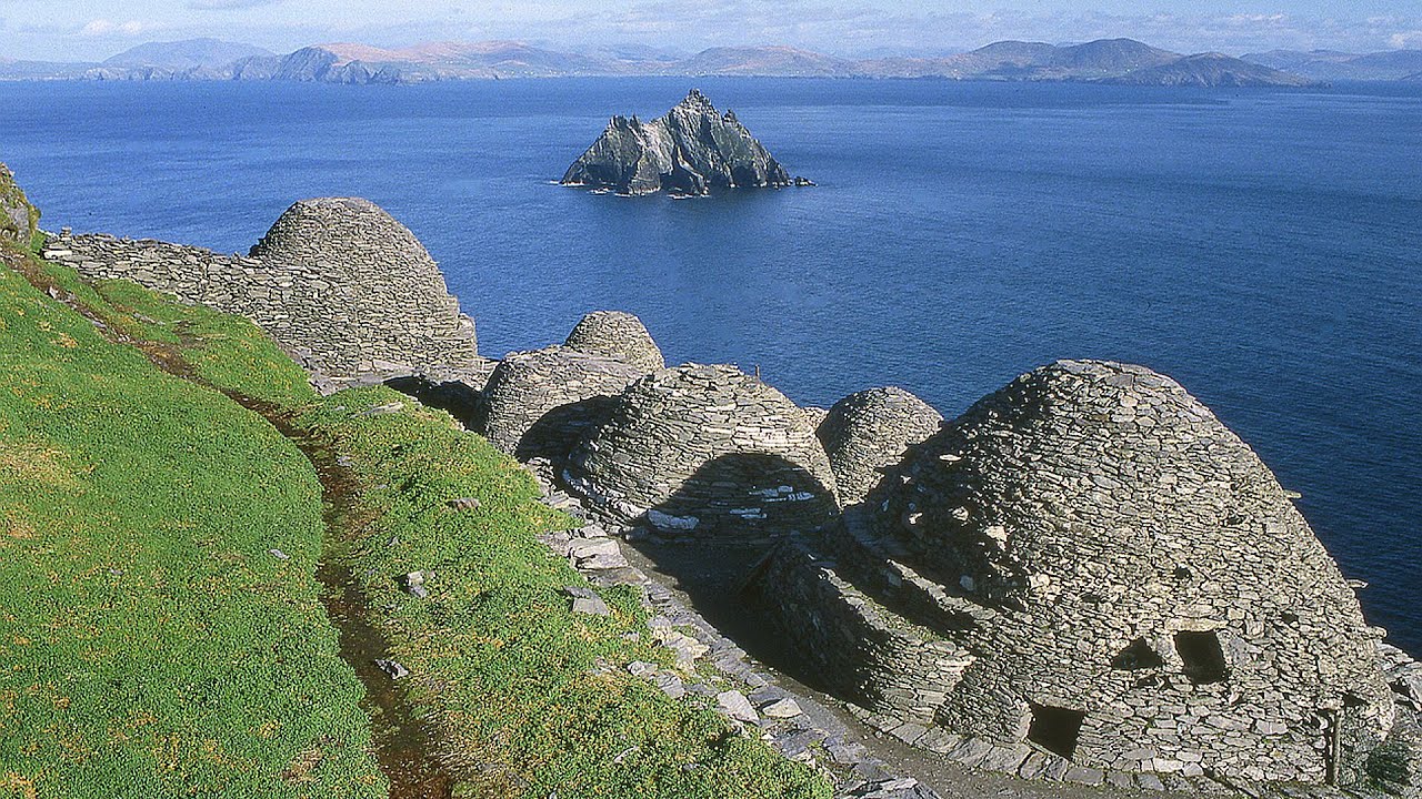
What is recorded here
Two adjoining subrectangular huts abut the inner face of the bank at N. The N example (KE064-002002-) measures 4.3m N-S x 4.8m E-W internally and its sod-covered stone foundations, 1.3m wide, survive to a maximum height of .5m; a 2.5m wide entrance gap occurs at E.
The above description is derived from A. O'Sullivan and J. Sheehan (compilers), 'The Iveragh peninsula: an archaeological survey of South Kerry'. Cork University Press (1996), no. 452. In certain instances the entries have been revised and updated in the light of recent research.
Date of upload: 28 July 2013
The monument record does not grant public access. Check the route and ask the landowner before entering private land.
- What survives
- Recorded monument
Places near here
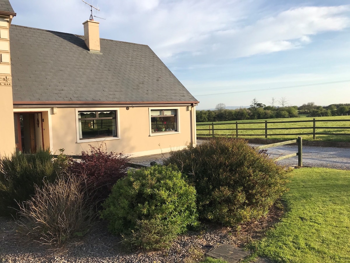 Enclosure in ArdacluckeenEnclosure · 94 yd
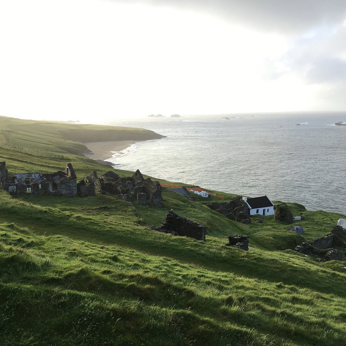 Lisbeg (Site of)Fairy fort / earthen ringfort · 1100 yd
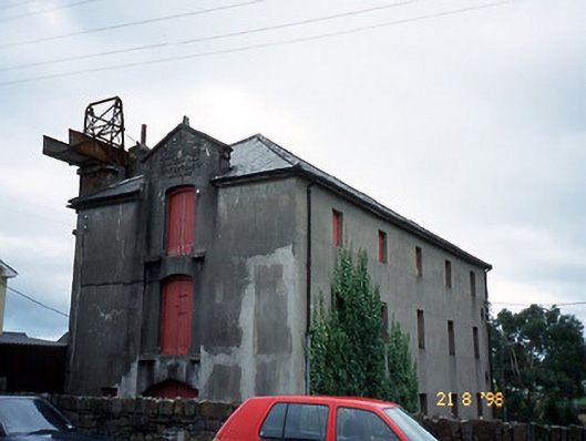 store/warehousestore/warehouse · 2.1 mi
 King Puck statueMemorial · 2.2 mi
 Saint Michael's Church (Killorglin)church/chapel · 2.2 mi
 CastleCastle, tower house · 2.2 mi
 Cloon IslandIsland · 2.8 mi
 KnockbrackMountain / peak · 3.2 mi
 Clash IslandIslet · 3.2 mi
 Ballymalis Castle (in ruins)Castle, tower house · 3.3 mi
 KnockroeMountain / peak · 3.9 mi
 Kerry Bog VillageHeritage attraction · 4.8 mi
Other information
Photo: Credit not shown in the picture search · Rights wording not checked; contact us if this picture should be removed