What is recorded here
Bivallate rath KE035-067---- with traces of 2 hut sites in the interior.
In the NW sector of the interior are the very disturbed remains of what appear to be 2 conjoined huts. They are represented by a roughly circular (N hut KE035-067001-) and a rectangular (S hut KE035-067002-) depression, .8m deep. The former measures 4.6m x 3.9m internally and the latter a maximum of 4.6m internally. A possible entrance between the 2 huts measures .9m in width.
The above description is derived from J. Cuppage, ‘Corca Dhuibhne. Dingle Peninsula archaeological survey. Ballyferriter. Oidhreacht Chorca Dhuibhne’ (1986), no. 320. In certain instances the entries have been revised and updated in the light of recent research.
Date of upload: 6 August 2013
The monument record does not grant public access. Check the route and ask the landowner before entering private land.
- What survives
- Recorded monument
Places near here
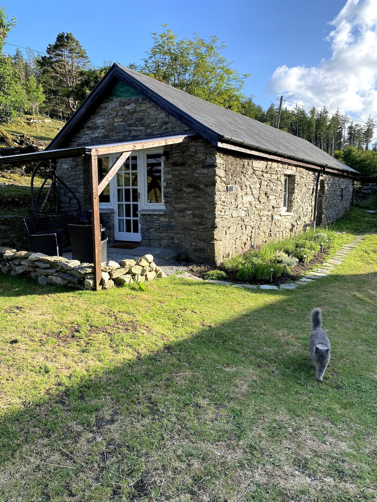 Hut site in An Baile DubhHut site · 3 yd
 Site of ChurchChurch · 476 yd
 Church in Cill An UrdráinChurch · 818 yd
 Binn an TuairMountain / peak · 1.1 mi
 Hillville WoodWood · 1.3 mi
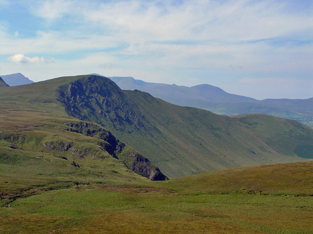 Gob an IolairMountain / peak · 1.4 mi
 Drom BeachBeach / strand · 1.4 mi
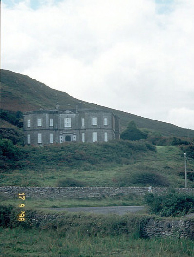 Fermoyle Househouse · 1.4 mi
 Site of CastleCastle, unclassified · 1.4 mi
 An t'Oileán DubhIslet · 2.1 mi
 An CheapaighBeach / strand · 2.3 mi
 Pointe na CathrachHeadland · 2.9 mi