What is recorded here
Jean Charles Caillére first reported the ruined tower windmill standing on a small hillock in County Meath. The 1836 Ordnance Survey map still shows its ghost, but the stones have vanished entirely. Whatever bread it ground or warnings it gave have disappeared with the brickwork, leaving only a hollow dip where the wind still turns nothing at all.
Situated on the summit of a small hillock. A tower windmill annotated as a ‘Windmill (in ruins)’ in italic lettering is depicted only on the 1836 edition of the OS 6-inch map. It is not extant and was first reported by Jean Charles Caillére.
Compiled by: Michael Moore
The monument record does not grant public access. Check the route and ask the landowner before entering private land.
- What survives
- Recorded monument
Places near here
 Site of Old CastleCastle, unclassified · 427 yd
 Cromwell's BatteryArchaeological place · 680 yd
 Gun HillMountain / peak · 691 yd
 Cromwells BatteryFortification · 700 yd
 Site of Siddan castleCastle, unclassified · 813 yd
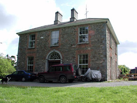 Siddan Househouse · 870 yd
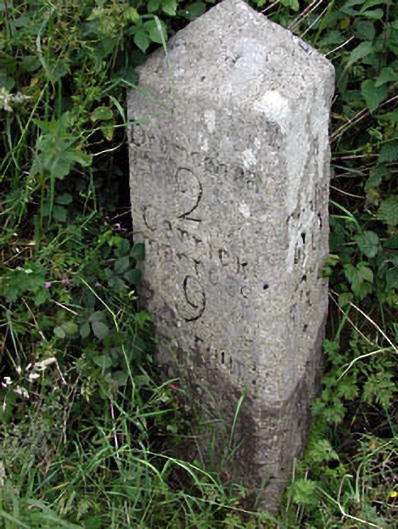 milestone/milepostmilestone/milepost · 880 yd
 Screedoge HillMountain / peak · 2.5 mi
 Valley WoodWood · 2.9 mi
 European YewEuropean Yew · 3.5 mi
 Nobber GreenwayMemorial · 4.8 mi
 Sir Frederick Foster MemorialMemorial · 5.1 mi