What is recorded here
Discovered during trial test trenching (Excavation Licence No. 94E0187). Excavation revealed a peaty layer partly defined by a stone setting. Possible traces of wattle were also noted (Murphy 1995, 59-60). Remains may represent traces of one or more houses.
Reference:
Murphy, D. 1995 Newry St., Carlingford. In I. Bennett (ed.), Excavations 1994: summary accounts of archaeological excavations in Ireland, 59-60 (No. 166). Bray. Wordwell.
Compiled by: Claire Breen
Date of upload: 22 November 2011
The monument record does not grant public access. Check the route and ask the landowner before entering private land.
- What survives
- Recorded monument
Places near here
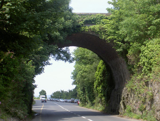 bridgebridge · 45 yd
 The Anchoragehouse · 55 yd
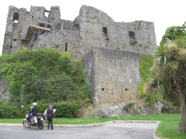 King Johns Castle in ruinsCastle, Anglo-Norman masonry castle · 61 yd
 Carlingford CastleHeritage attraction · 65 yd
 CastleCastle, tower house · 83 yd
 Town defences in Liberties OF CarlingfordTown defences · 124 yd
 Carlingford Ogham StoneMemorial · 383 yd
 Town GateHeritage attraction · 390 yd
 TholselGatehouse · 393 yd
 Carlingford Heritage CentreVisitor information · 440 yd
 Graveyard in Liberties OF CarlingfordGraveyard · 460 yd
 Carlingford - Loop 1A- Commons LoopWalking route · 746 yd