What is recorded here
The precise location of a stone house in the townland of Tupgh that is listed in the 1654-56 Civil Survey of Limerick has not been identified. Seymour (1907, 371) recorded the following details about this building; 'The Down Survey notes that "there is at Tuogh Killuragh a Castle [LI015-079----] in repaire, and a Stonehouse in repaire, and Six Cabbins" (this last is evidently the village alluded to above); while the Civil Survey speaks of "Tuogh and Pallisbeg, two ploughlands with a castle in repaire, a Bawen, a stone-house, an Orchard, two mills seate, and the demolished Castle of Pallisbeg [LI015-047----]." The Mac Brien family owned these castles and lands'.
The 1654-56 Civil Survey recorded that Tadhg O'Brien was the owner of the lands of 'Towgh an Pallicebeg' on which there stood a 'Castle in repaire a Bawen a stone house an Orchard two Millseates and the Demolished Castle of Pallicebeg' (Simington 1938, 8). The terrier of the Down Survey map of Tuogh Parish stated that 'There is at Twogh Killuragh a Castle in repaire and a stone house in repaire and six Cabbins' (NLI, MS 718). On the Down Survey map of Tuogh parish a building is depicted standing to the W of Tuogh Church which may be the stone building described above (ibid.).
See attached Down Survey map of the Parish of Tuogh
Compiled by: Caimin O'Brien
Date of upload: 30 June 2020
The monument record does not grant public access. Check the route and ask the landowner before entering private land.
- What survives
- Recorded monument
Places near here
 CastleCastle, unclassified · 1 yd
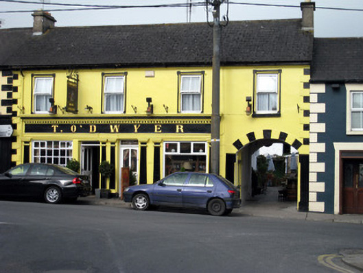 T. O'Dwyerhouse · 101 yd
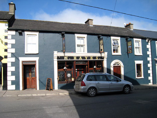 W. Hayeshouse · 103 yd
 Tower HillCastle, unclassified · 1.5 mi
 Enclosure in CastlegardeEnclosure · 1.6 mi
 Enclosure in ClogherEnclosure · 1.7 mi
 Sliev Felim WayVisitor information · 3.5 mi
 ToberagaddySpring · 3.6 mi
 Graveyard in AbingtonGraveyard · 3.7 mi
 KnockseefinMountain / peak · 3.9 mi
 Slieve FelimMountain / peak · 4.1 mi
 St. Patrick's WellSpring · 6.7 mi