What is recorded here
Civil Survey (1654-6) refers to 'one thatcht house', possibly near Rathurles tower house (Simington, 1934, vol.2, 253). This house was tentatively located to 'Rahurles House', however, field inspection established that this is a late eighteenth/early nineteenth-century house with no evidence of an earlier house visible. The seventeenth-century house remains unlocated within the townland.
Compiled by: Jean Farrelly and Caimin O'Brien
Date of upload/revision: 22 September 2008
The monument record does not grant public access. Check the route and ask the landowner before entering private land.
- What survives
- Recorded monument
Places near here
 RathurlesFairy fort / earthen ringfort · 71 yd
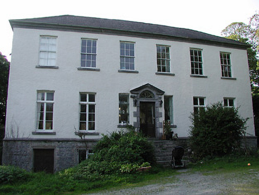 Rathurles Housecountry house · 337 yd
 Rathurles CastleCastle · 506 yd
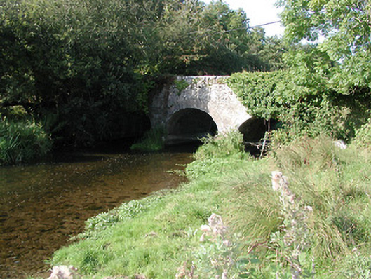 Rathurles Bridgebridge · 779 yd
 RathfallaFairy fort / earthen ringfort · 977 yd
 Lisbunny CastleCastle, hall-house · 1.2 mi
 James Devaney MemorialMemorial · 1.4 mi
 Old BarracksHeritage attraction · 2.4 mi
 Nenagh Heritage CentreMuseum · 2.7 mi
 Gibbet HillMountain / peak · 2.9 mi
 Ballycapple WoodForest · 3.7 mi
 Knockacraheen HillMountain / peak · 5.4 mi