What is recorded here
Situated in rough, level pasture (OD 112m/370ft). In centre of ringfort (WM018-063----) are the remains of a roughly rectangular-shaped sunken area (dims. 8m N-S; 6m E-W) enclosed by a gapped bank of earth and stone. There is a small irregular-shaped annexe (dims. 6m E-W; 3m N-S) to the immediate W. House site is visible as a small earthwork on Digital Globe aerial photography.
Compiled by: Alison McQueen, Vera Rahilly and Caimin O’Brien
Date of upload: 04 February 2019
The monument record does not grant public access. Check the route and ask the landowner before entering private land.
- What survives
- Recorded monument
Places near here
 Kilpatrick FortFairy fort / earthen ringfort · 1 yd
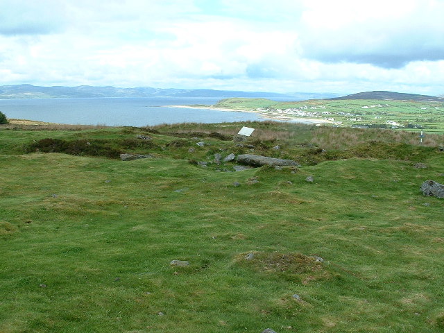 Enclosure in Kilpatrick (rathconrath By.)Enclosure · 227 yd
 Simonstown Castle (in Ruins)Castle, unclassified · 364 yd
 Site of CastleCastle, unclassified · 636 yd
 Cartron Househouse · 1444 yd
 32nd Lock Keeper's HouseRuins · 1579 yd
 WestmeathVisitor information · 1.5 mi
 Ancient Ring FortWood · 1.6 mi
 Baronstown ForestWood · 3.9 mi
 Carrickphilbin IslandIslet · 4.1 mi
 Hill of UisneachMountain / peak · 4.6 mi
 Srudarra IslandIslet · 4.6 mi