What is recorded here
Abutting the enclosing bank in the SW quadrant of a rath (SL033-118----). This possible house is evident as a shallow rectangular depression (5.4m E-W; 3.2m N-S; D 0.1-0.35m) defined on the S and W sides by the enclosing bank of the rath, and on the N and E sides by an artificial scarp. Some stone is visible in the N side. The entrance may have been on the E side.
Attached image:
SL033-118001-_01.JPG possible house viewed from N
Compiled by: Jane O’Shaughnessy
Date of upload: 8 September 2015
The monument record does not grant public access. Check the route and ask the landowner before entering private land.
- What survives
- Recorded monument
Places near here
 IndicatedFairy fort / earthen ringfort · 7 yd
 Enclosure in Rathdoony MoreEnclosure · 670 yd
 RathdoonyCastle, motte · 1460 yd
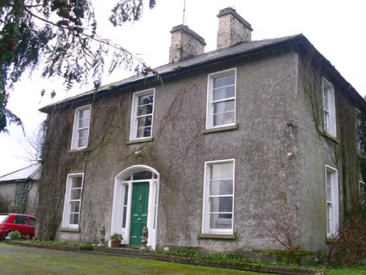 Castleview Househouse · 1676 yd
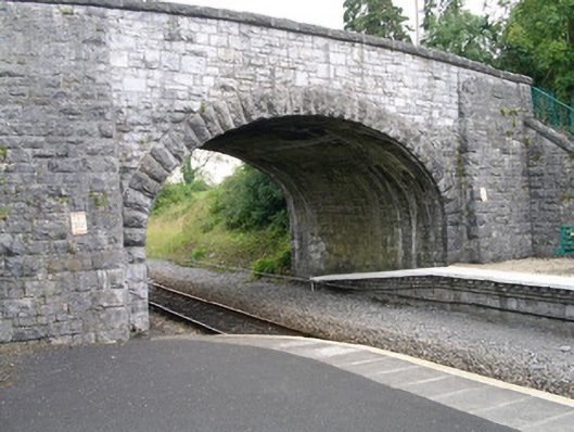 bridgebridge · 1738 yd
 Brother WalfridMemorial · 1.0 mi
 Ballymote CastleCastle · 1.0 mi
 ElderElder · 2.4 mi
 European ashEuropean ash · 3.0 mi
 Tymon's HillMountain / peak · 3.3 mi
 Caves of KeshCave · 4.3 mi
 Kesh CorannMountain / peak · 4.6 mi