
What is recorded here
St Thomas Court Watch House
Watch House depicted standing on the north-west corner St. Thomas Court. Annotated ‘W H’ on Rocques 1756 map of the city and suburbs of Dublin (Rocque 1756). On this map the rectangular building with semi-circular shaped north gable with its long axis aligned on a N-S axis stands at the western end of Earl Street in St Thomas Court immediately south of Gilbert’s Alley with Crylly’s Yard to the west and a Court House (DU018-020343-) to the south.
Compiled by: Caimin O'Brien
Date of Compilation: 13 November 2025
The monument record does not grant public access. Check the route and ask the landowner before entering private land.
- What survives
- Recorded monument
Places near here
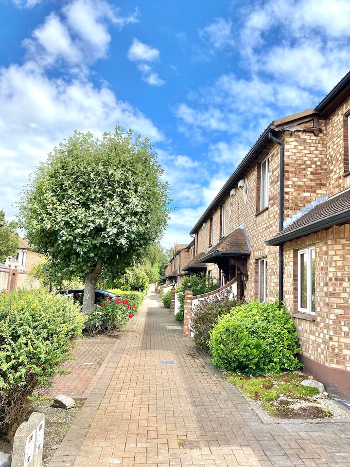 SteamBoxGallery · 31 yd
 Courthouse in Unknown TownlandCourthouse · 38 yd
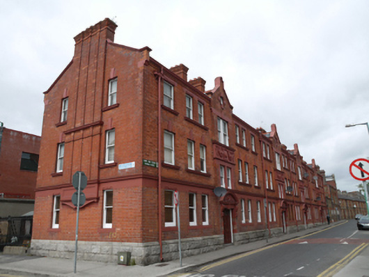 apartment/flat (purpose-built)apartment/flat (purpose-built) · 52 yd
 Religious houseReligious house, Augustinian canons · 107 yd
 Saint James' GateHeritage attraction · 164 yd
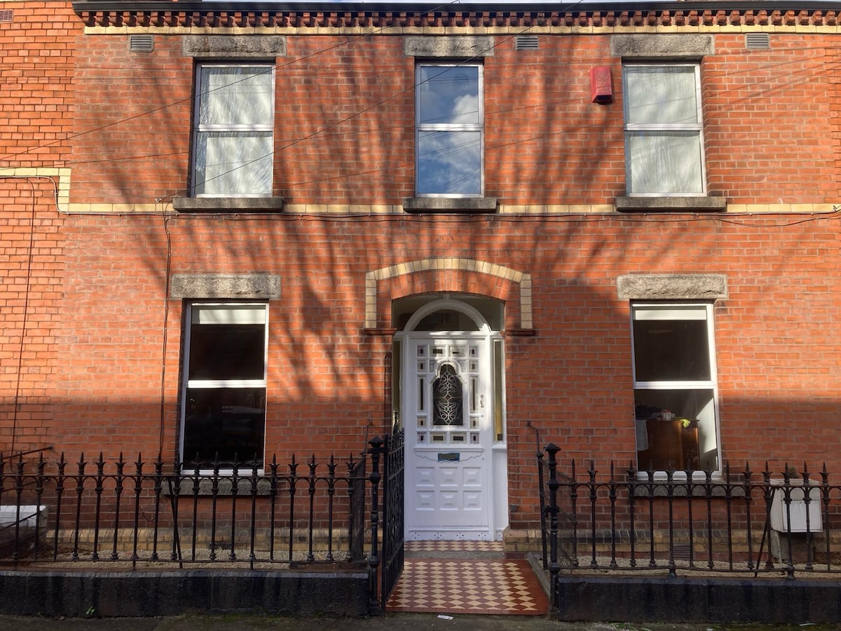 Habitation site in Unknown TownlandHabitation site · 240 yd
 European PearEuropean Pear · 322 yd
 Graveyard in Unknown TownlandGraveyard · 456 yd
 Croppies Acre MemorialMemorial · 786 yd
 CastleCastle, unclassified · 954 yd
 Bus Route InformationVisitor information · 961 yd
 Gairdín Foirmiúil Ospidéal Ríoga Chill MhaighneannVisitor information · 1325 yd
Other information
Photo: Credit not shown in the picture search · Rights wording not checked; contact us if this picture should be removed