What is recorded here
On the Down Survey (1655-6) barony map of Crannagh, ‘Huntstowne’ is depicted with three houses, however on the ‘Tulleroane’ parish map ‘Huntstowne’ is shown with six simple houses. These stylistic representations probably indicate a settlement rather than a specific number of houses. The terrier accompanying the parish map lists ‘John Grace protest[ant]’ as the proprietor in 1640 of this unforfeited townland (ibid.). Listed separately in the SMR as KK018-083001- to KK018-081006-. The precise location of these houses is unknown.
See attached:
KK018-083002-_01 extract from Down Survey (1655-6) barony map of ‘Crannagh’ (Hib. Reg., courtesy of Trinity College Dublin)
KK018-083002-_02 extract from Down Survey (1655-6) parish map of ‘Tullaroane’ (Hib. Reg., courtesy of Trinity College Dublin)
Compiled by: Jean Farrelly
Date of upload: 29 March 2021
The monument record does not grant public access. Check the route and ask the landowner before entering private land.
- What survives
- Recorded monument
Places near here
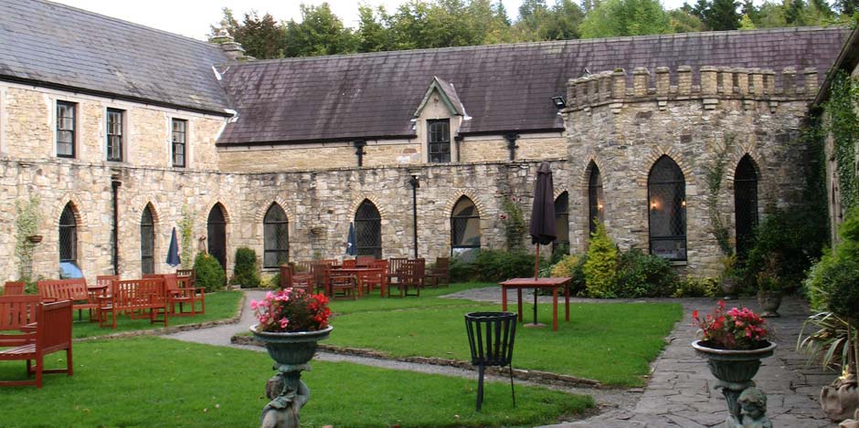 Enclosure in HuntstownEnclosure · 541 yd
 Site of CastleCastle, unclassified · 832 yd
 HachuedFairy fort / earthen ringfort · 1031 yd
 Tullaroan ChurchChurch · 1153 yd
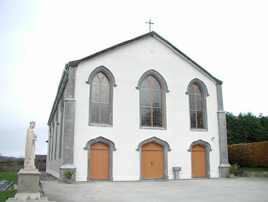 Catholic Church of the Assumptionchurch/chapel · 1511 yd
 CastleCastle, unclassified · 1.7 mi
 Killeen Fox CovertForest · 2.4 mi
 Ballykeeffe Mass RockNamed rock · 2.9 mi
 Ballykeefe WoodForest · 3.2 mi
 Ballykeefe QuarryCliff · 3.3 mi
 Ballykeefe AmphitheatreHeritage attraction · 3.3 mi
 Saint Brigid's WellSpring · 4.0 mi