What is recorded here
Three houses at Gortnaloghra are depicted close together on the Down Survey barony map (1656-8) of Mohill and ‘some cabbins’ at Gortnaloghra are mentioned in the terrier or commentary of the parish map of Cloone. None were located.
Compiled by: Michael Moore
Date of upload: 9 December, 2019
The monument record does not grant public access. Check the route and ask the landowner before entering private land.
- What survives
- Recorded monument
Places near here
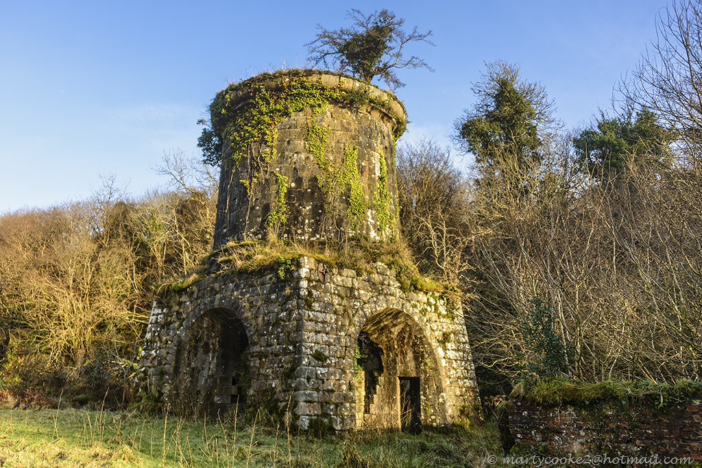 IndicatedFairy fort / earthen ringfort · 619 yd
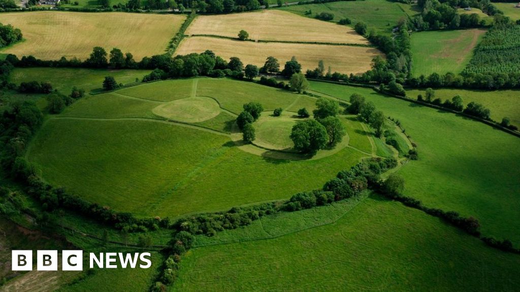 Sheean FortFairy fort / earthen ringfort · 1549 yd
 Sessile OakSessile Oak · 1.3 mi
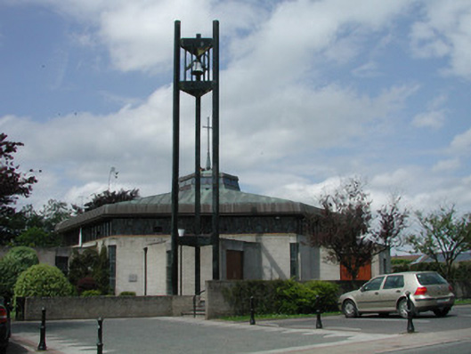 Saint Mary's Catholic Churchchurch/chapel · 1.4 mi
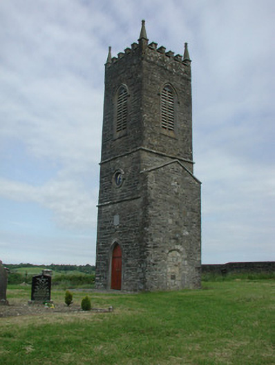 Saint James's Church (Cloone)church/chapel · 1.5 mi
 Turlough O'Carolan MonumentHeritage attraction · 2.4 mi
 Giant's GraveArchaeological place · 2.6 mi
 Little IslandIslet · 3.4 mi
 Duck IslandIslet · 3.4 mi
 Lawson's CypressLawson's Cypress · 3.7 mi
 CastleCastle, tower house · 4.0 mi
 North Midland Transport CollectionMuseum · 5.5 mi