What is recorded here
In the middle of Main St., towards the eastern end. On the Grace map of 1708 (O’Keeffe 2003, map 5) a building, represented by a small rectangle on the map, is described as, ‘A toft near the court house in the east’. A toft is a house or tenement. Also indicated in the middle of the street are two other buildings, one on either side of the ‘toft’. The building to the W appears to have been the courthouse (TS070-040026-) and the building (TS070-040109-) to the E, also represented as a rectangle, is described as a, ‘Common bakehouse and ground belonging to it’. The building is listed on Steile's map of 1752 as 'A waste by [the market house]' and is also depicted as a small building on Swiney’s map of 1763 (O’Keeffe 2003, map 9). All these buildings had been removed by 1840 as indicated by their absence from the 1st ed. 6-inch map.
Compiled by: Jean Farrelly
Date of upload: 13 May 2015
The monument record does not grant public access. Check the route and ask the landowner before entering private land.
- What survives
- Recorded monument
Places near here
 Courthouse in FethardCourthouse · 28 yd
 Fethard Town Hallalmshouse · 34 yd
 Allied Irish Bankbank/financial institution · 39 yd
 CrossCross, Market cross · 47 yd
 Court CastleCastle · 75 yd
 Edmond's CastleCastle · 93 yd
 European YewEuropean Yew · 100 yd
 East GateMemorial · 172 yd
 Grove WoodForest · 1.2 mi
 Kilknockan HillMountain / peak · 1.2 mi
 CarrigdotiaMountain / peak · 4.4 mi
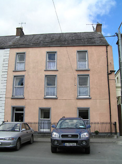 Weatherly Househouse · 52 yd