What is recorded here
On the Down Survey (1655-6) barony map of Galmoy, there is a large house drawn in the W portion of Borrismore townland, roughly SW of a marshy area. It is also indicated on the Down Survey (1655-6) parish map of Urlingford and annotated, 'Thatcht House'. On the parish map it is located W of an area called 'Lough' which is shown as 'The Loughans' on the 1900 revision of the OS 6-inch map. The terrier accompanying the parish map of records, 'at Borismore a Thatcht Chimney house', with the proprietor listed as the 'Earle of Ormond'. The precise location of this house within the townland is unknown.
Compiled by: Jean Farrelly
Date of upload: 17 June 2019
The monument record does not grant public access. Check the route and ask the landowner before entering private land.
- What survives
- Recorded monument
Places near here
 Ardaneena Church (in ruins)Church · 446 yd
 Enclosure in Donaghmore LowerEnclosure · 1276 yd
 Belle Vue Househouse · 1281 yd
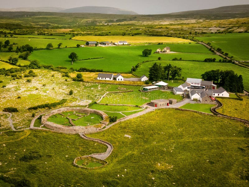 Borrismore Ringfort (Rath)Archaeological place · 1520 yd
 CastleCastle, tower house · 1549 yd
 Black CastleCastle, hall-house · 1.6 mi
 John HelyMemorial · 1.7 mi
 DelaneyMemorial · 1.9 mi
 Clomantagh HillMountain / peak · 1.9 mi
 Kildrinagh WoodForest · 3.1 mi
 Deerpark WoodWood · 4.3 mi
 Anker's IslandIsland · 10.0 mi